Next location: westbound eastbound
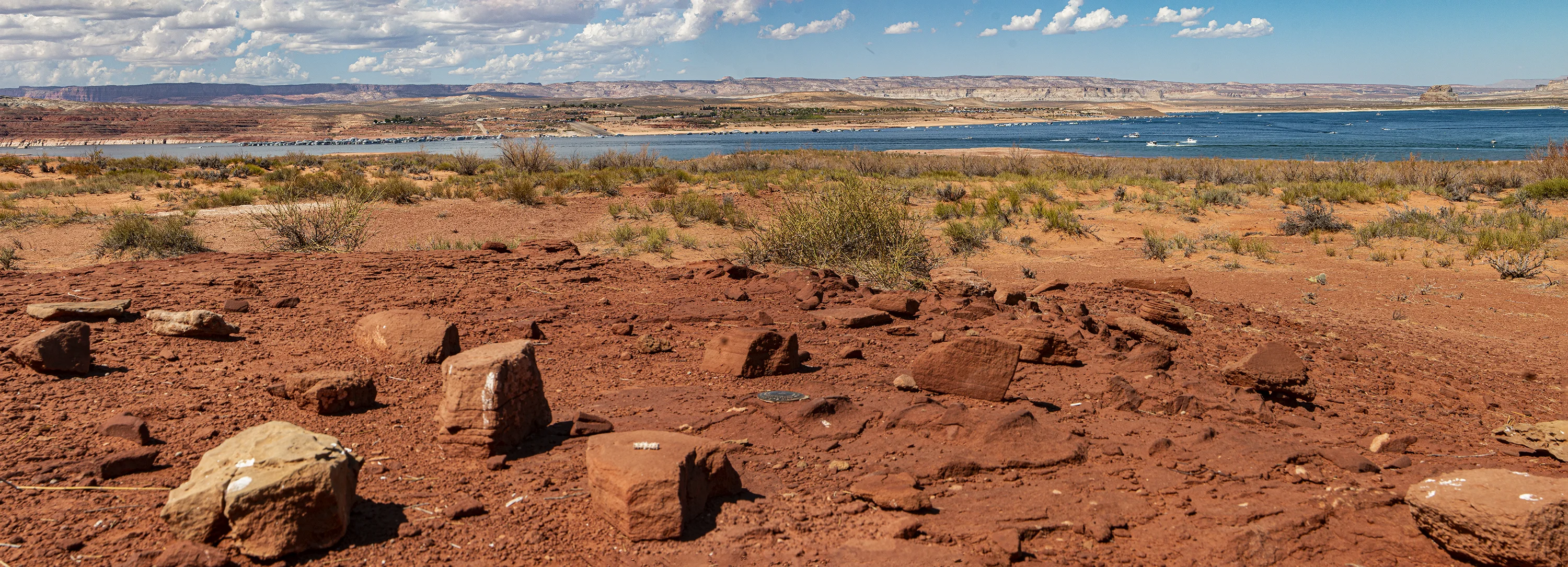
Brown’s triangulation station on Antelope Island, looking west.
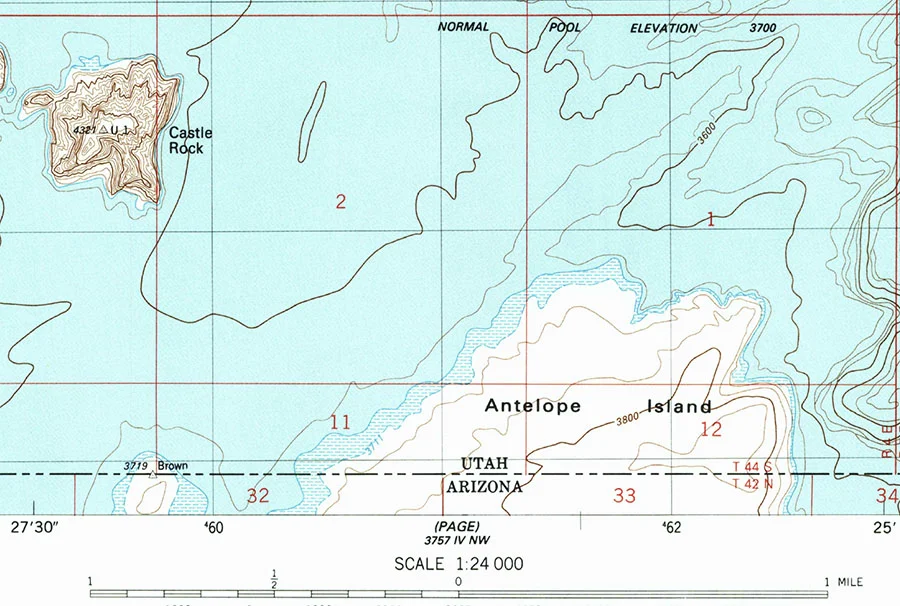
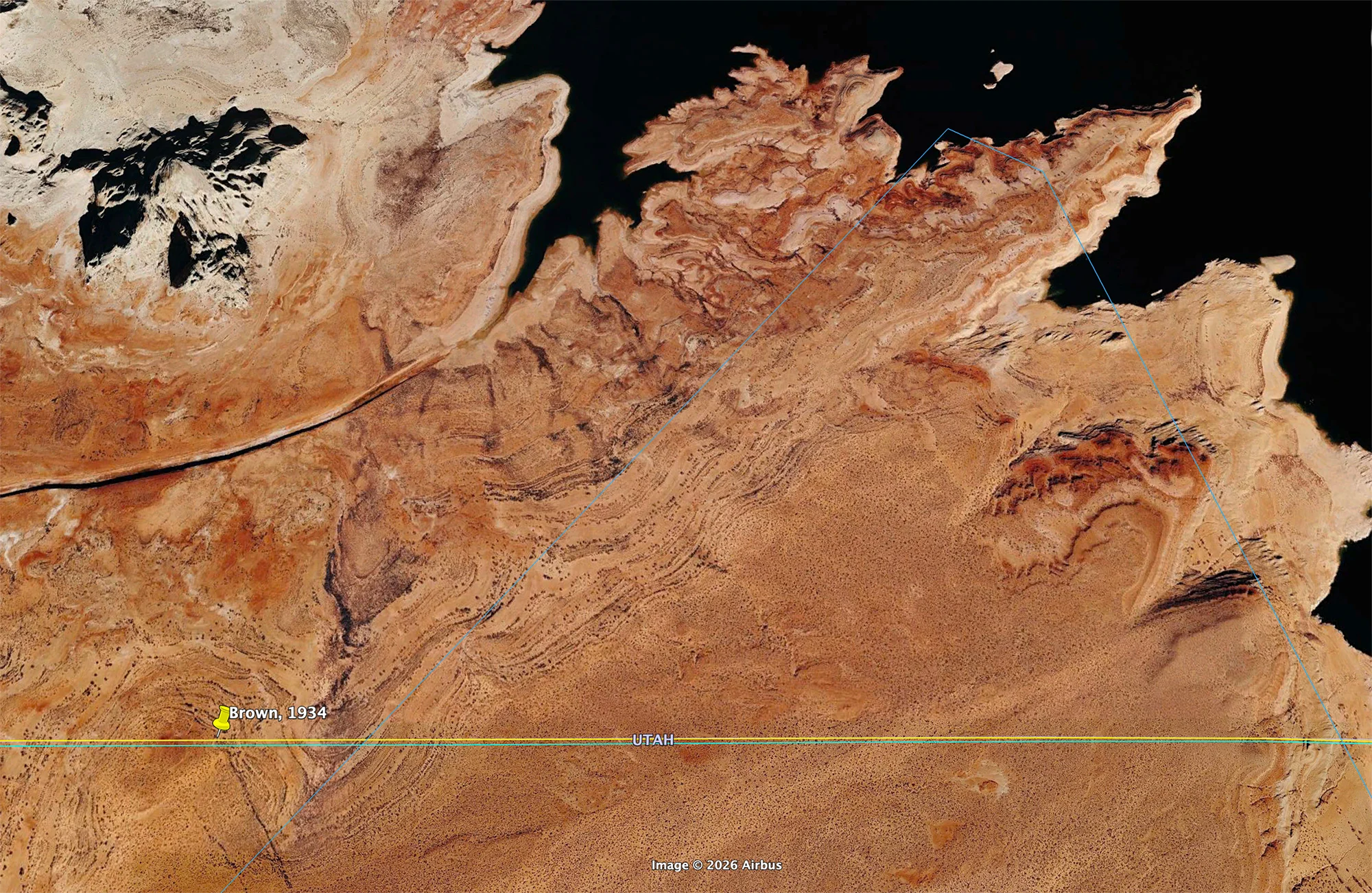
On Antelope Island, Lake Powell, on the Arizona-Utah line through the high red desert, with Wahweap, Arizona in the distance. Here, Surveyor Brown’s 1934 Triangulation Station sits as a stolid witness to the subtle geological changes in the nearly-Martian desert surface while major climate upheavals pull on the theatre set backdrops: Lake Powell’s water level in 2018 was 107 feet below ‘full pool’, indicated on the 1985 map below. Brown’s triangulation station, placed before its location could be called an island, long before the Glen Canyon dam was built, faced the implacable rise of Lake Powell: in 1985 the monument sat on a peninsula; now the lake has ebbed away.
.

370 0.0940′ North 1110 27.1937′ West
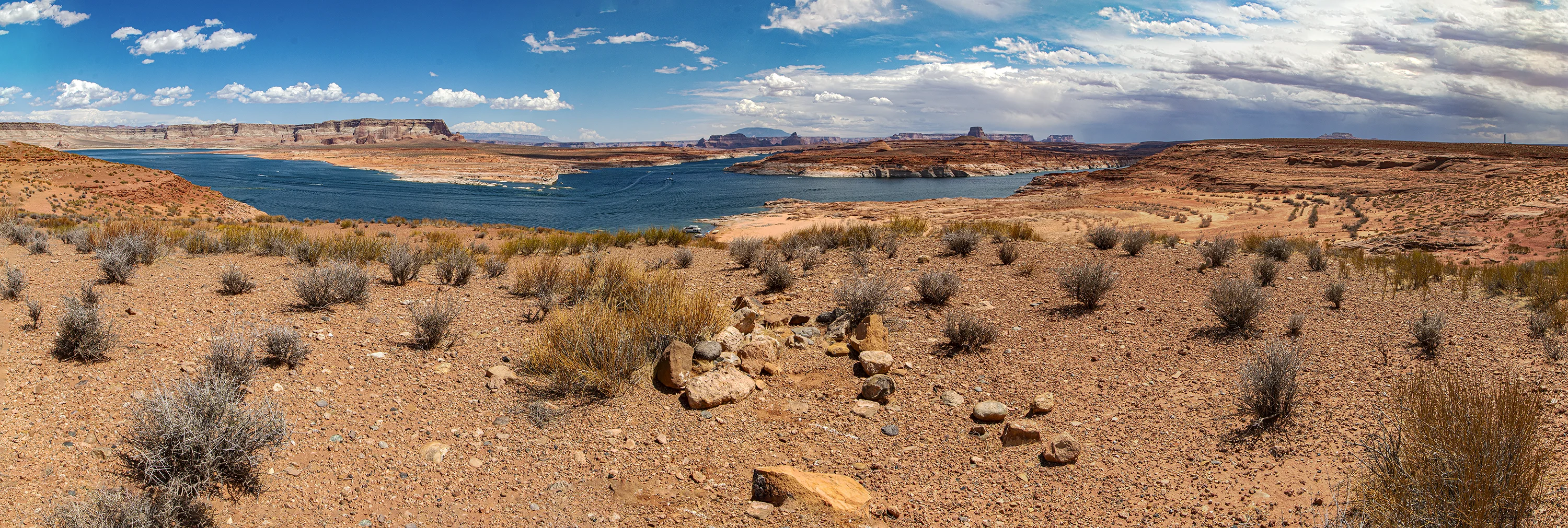
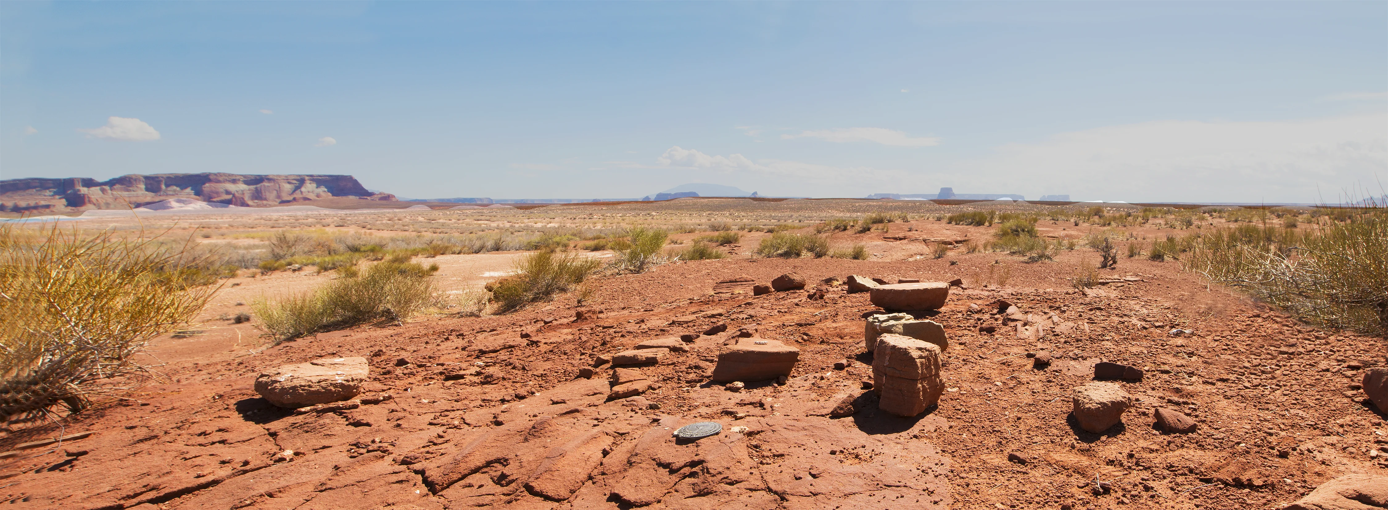
Looking east, from the east side of Antelope Island, with Navajo Mountain in the distance, a blue hump on the horizon; the borderline passes over the mountain’s southern flank. Near the right edge of the image, the Navajo Generation Station’s stack (subsequently demolished) merges with the storm cloud above it.