Next Location: westbound eastbound

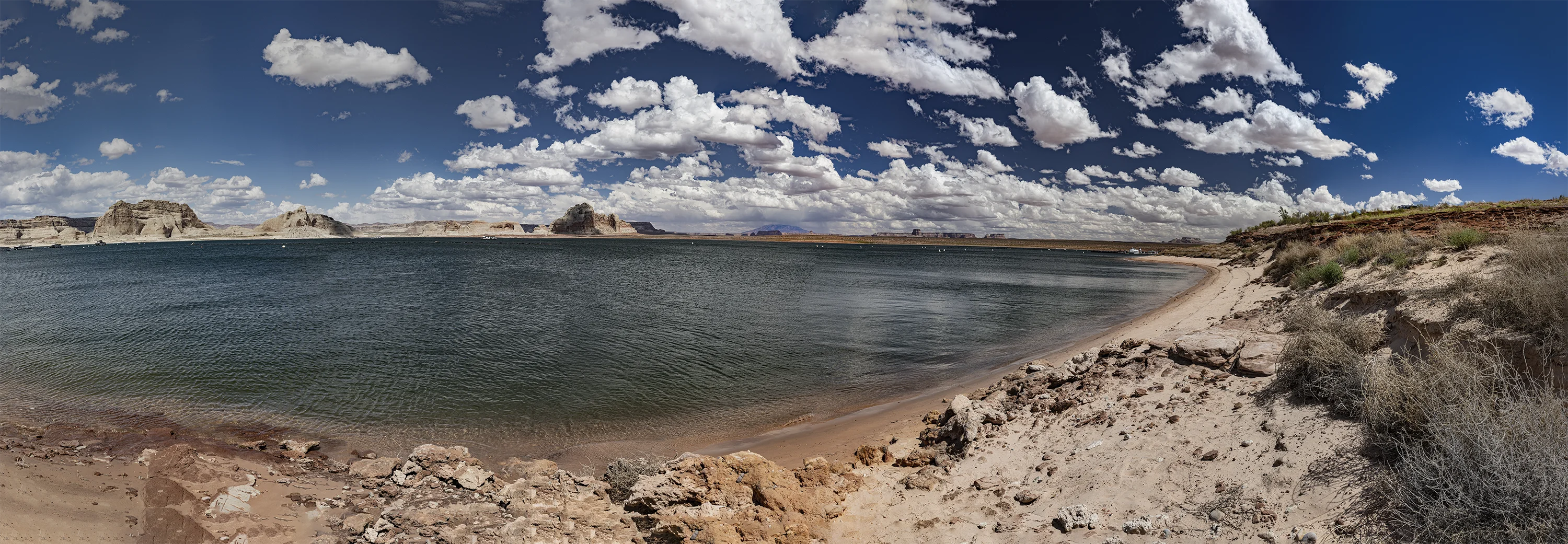
The economy of nearby Page, Arizona is critically linked to the water level in Lake Powell, with its two-story houseboats and open-throated jet skis. The sapphire lake contrasts with pottery-pink sandstone mesas: a hot, bright playground for world tourists. Still, it’s hard not to think about evaporation and critical water demands that the Colorado River cannot meet. Boat launch ramps have been stretched down into the shrinking play pool, not yet a dead pool, when the water level is too low to generate power at nearby Glen Canyon Dam. Long term planners acknowledge that the current drought, at least two decades old, has no end in sight. Dendrologists have found no evidence of a drought worse than the current one in 500 years of tree rings.
This is the arid west, after all, and John Wesley Powell, geologist in charge of the United States Geographical and Geological Survey of the Rocky Mountain Region, labored doggedly 150 years ago to make eastern politicians understand that westerners have long known that water is for fighting (whether or not Mark Twain actually coined the phrase). Interstate disputes require a federal referee, but there’s never been an agreement on who’s really in charge.
In his remarkable Report on the Lands of the Arid Region of the United States (1878), Powell, anticipating perpetual water wars, argued that political boundaries should be organized by western watersheds. The map below shows how Powell would have carved up the west:
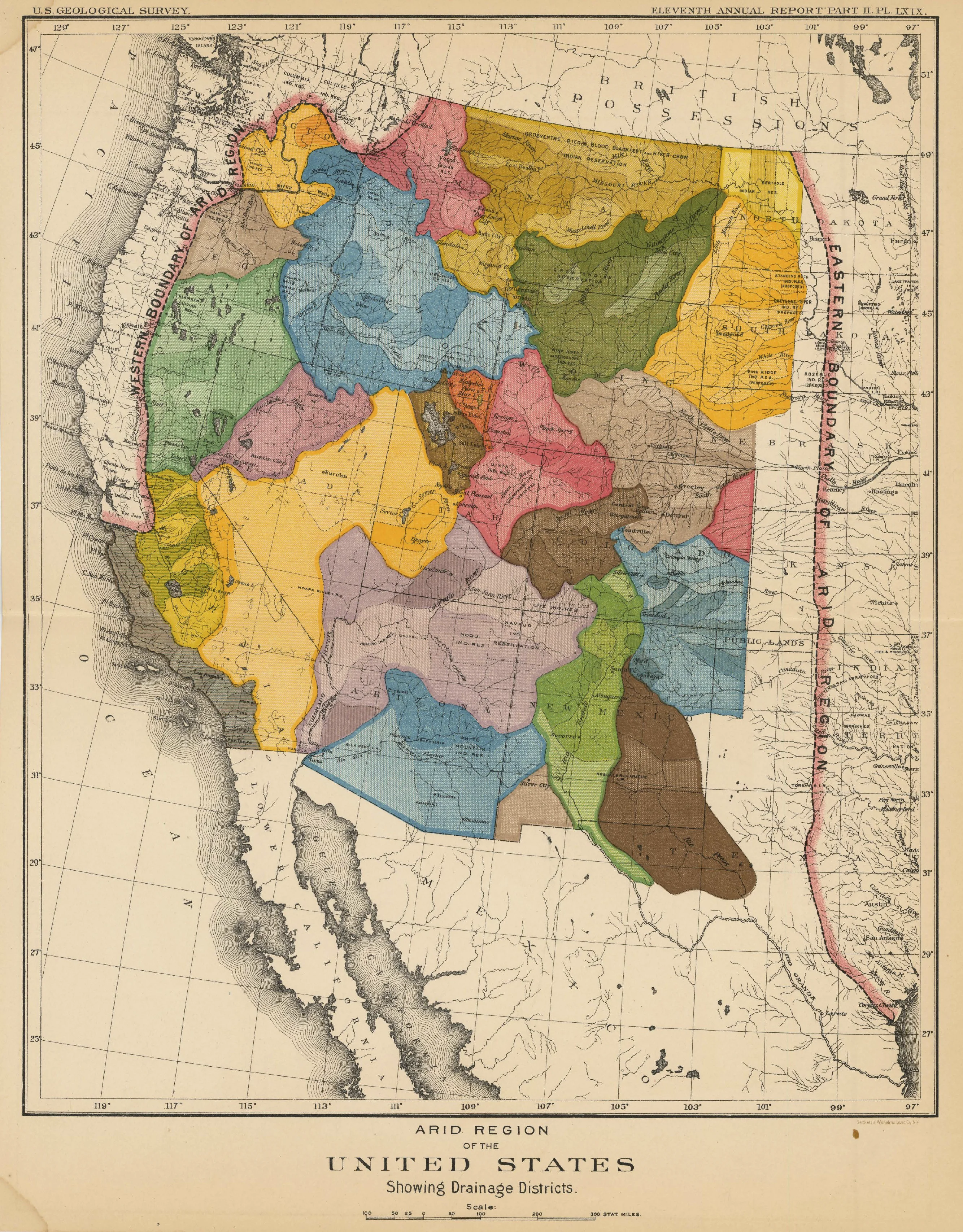
Powell predicted that failure to address watershed jurisdictions would result in conflicts for generations to follow. He couldn’t have been more correct. But in the end, Powell lost. Wallace Stegner, in his masterful biography of Powell, put it this way:
It was the West itself that beat him, the Big Bill Stewarts2 and Gideon Moodys3, the land and cattle and water barons, the plain homesteaders, the locally patriotic, the ambitious, the venal, the acquisitive, the myth-bound West which insisted on running into the future like a streetcar on a gravel road.4
Footnotes
1 Map by Torpyl – Own work, CC BY-SA 4.0, https://commons.wikimedia.org/w/index.php?curid=68799884
2 Senator William Stewart (R-NV) slashed Powell’s USGS budget in half when Powell refused to authorize surveys to add dam development to benefit Stewart’s mines in Nevada. See: JFRCalifornia’s “What was Powell’s Vision for the West?” https://wayneswords.net/threads/what-was-powells-vision-for-the-west.10361/
3 Senator Gideon Moody (R-SD) clashed with Powell in 1890 over underground water. Moody advocated for increased agricultural development, while Powell warned against groundwater overpumping based on his geological surveys. See: Adrianne C. Kroepsch, “Groundwater Modeling and Governance: Contesting and Building (Sub)Surface Worlds in Colorado’s Northern San Juan Basin,” Engaging Science, Technology, and Society 4 (2018), 43-66 DOI:10.17351/ests2018.208.
4 Wallace Stegner, Beyond the 100th Meridian: John Wesley Powell and the Second Opening of the West (Boston: Houghton Mifflin, 1954) p. 338.