Next location: westbound eastbound
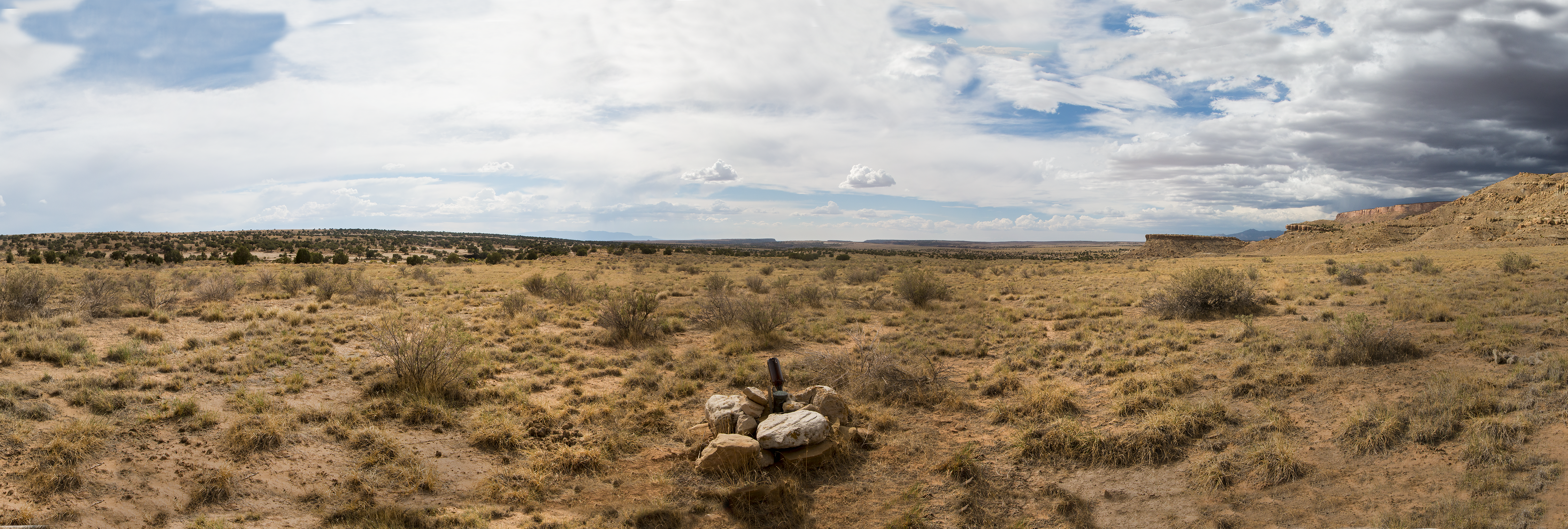
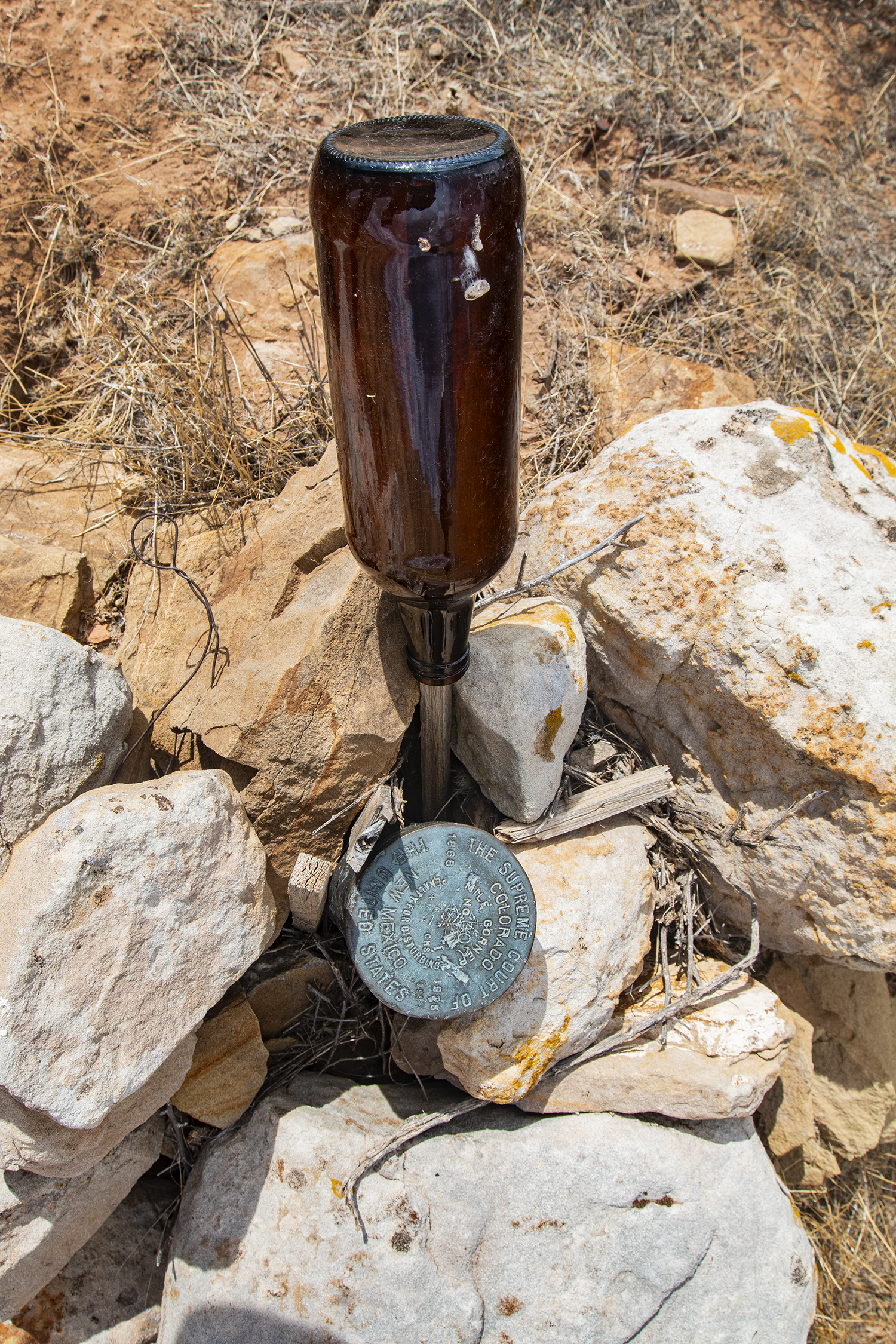
On the borderland between the Navajos on the southern side of the line and the Mountain Utes on the northern side, we see no fences: there’s no reason to expect any intertribal chin music along the boundary. The USGS map shows no name for the plateau; the 1000 foot mesa to the east is also governmentally nameless. Cattle have grazed here, but not recently; the survey monument was decorated with a brown bottle on Arthur Kidder’s survey stake; but no one’s here now. Or anywhere, for miles. Mesa Verde National Park is only 15 miles northeast of here, and the Navajo town of Teec Nos Pos is around 40 miles west-southwest, in Arizona. But no one’s here. A clear, quiet desert wind blows into our faces, out of Utah.