Next location: westbound eastbound
We found no survey monument at the GPS location of Mile 178, as indicated on the USGS the map (37o 0′ 0.3624” N, 110o 49′ 50.5992” W).
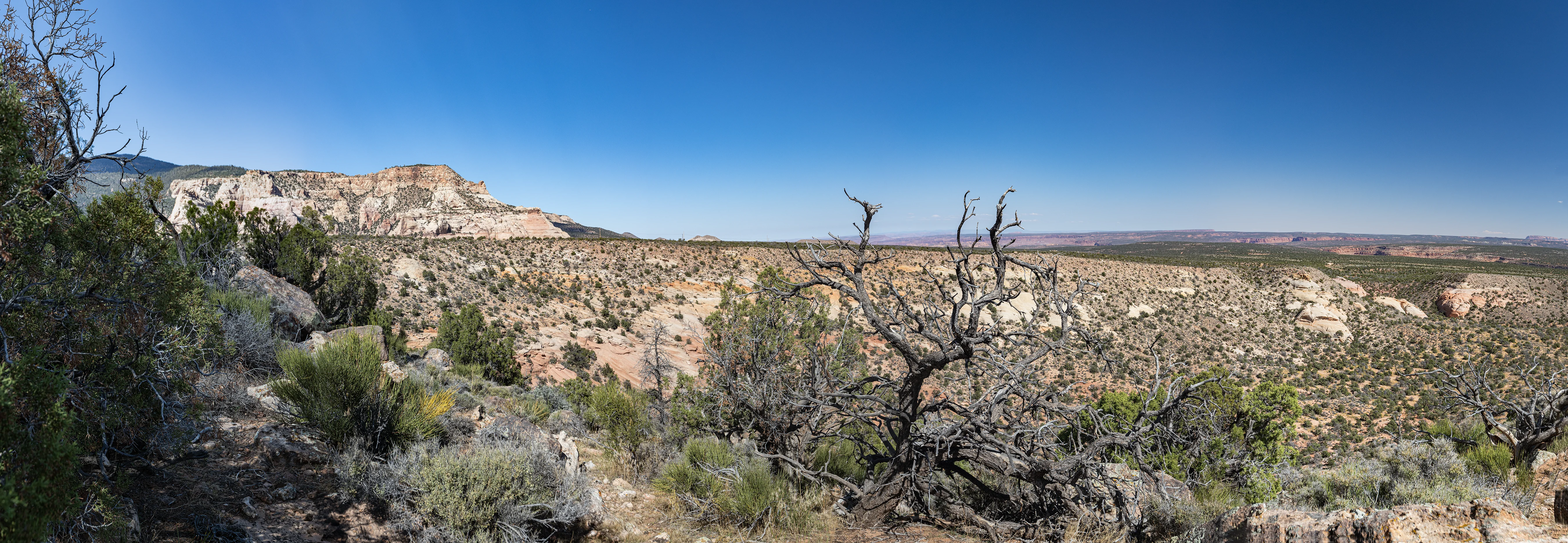
We’re on the southeast shoulder of Navajo Mountain, looking east. Like much of the Navajo Nation, the area is unfenced. Electricity transmission wires are barely visible in the distance– otherwise there’s little hint of human presence. The Southwest suffered a major piñon heat-related die-off in the early aughts.
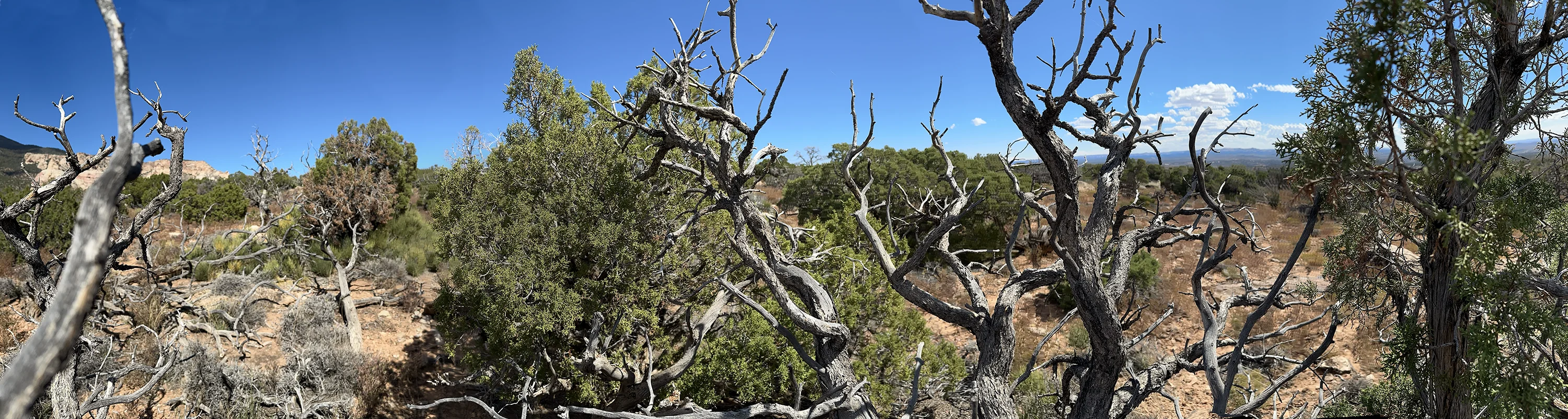
From a few steps east there was a somewhat better view of the landscape.