Next location: westbound eastbound
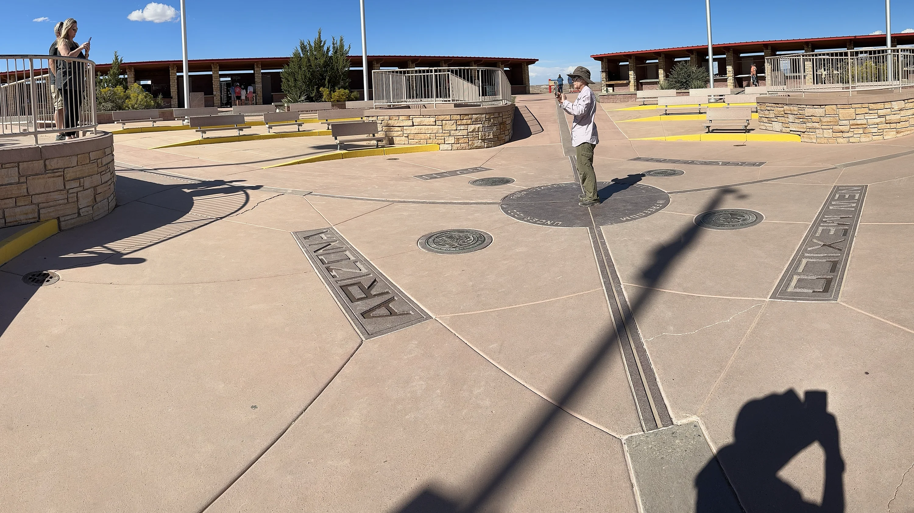
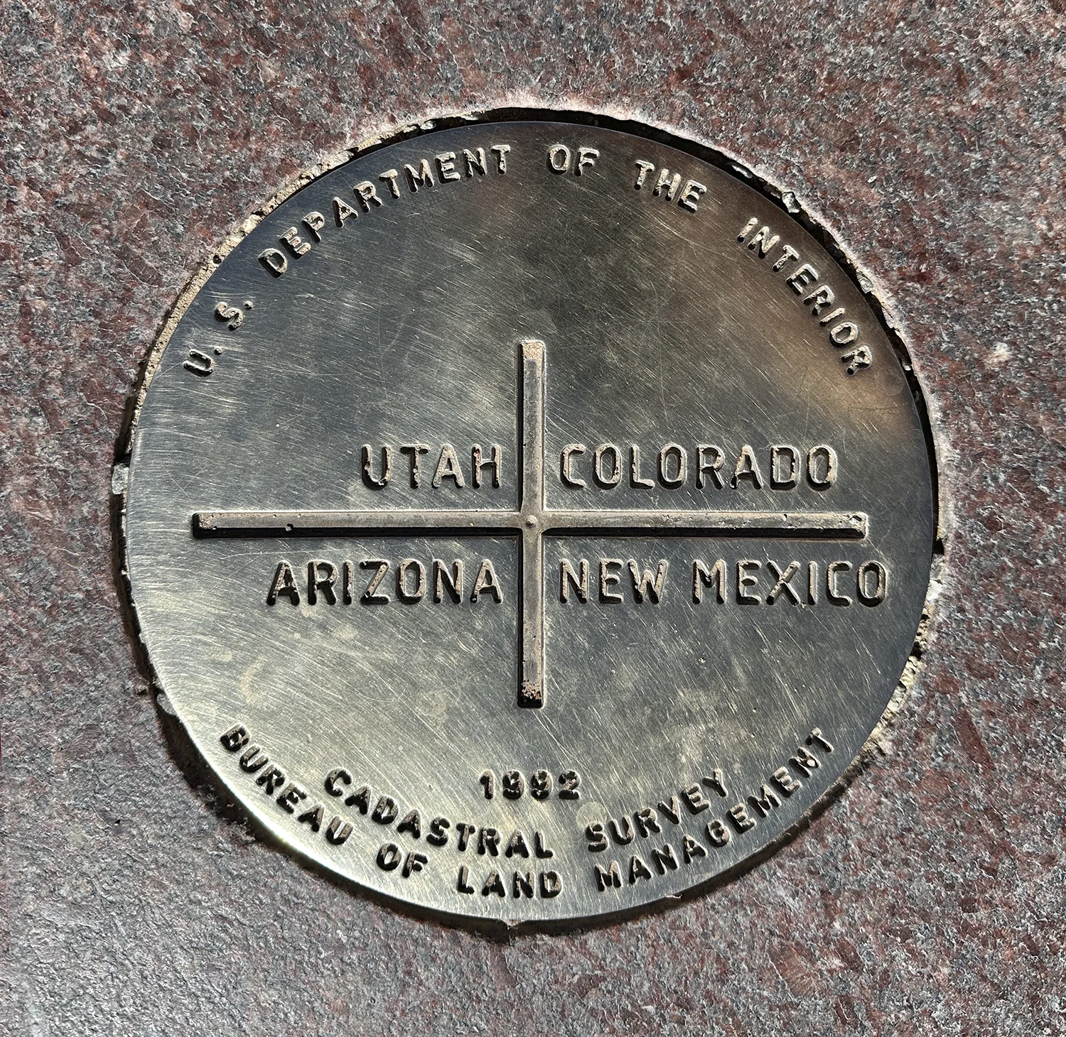
Here’s the thing: every American schoolchild learns that there’s only on spot on the US map where four states intersect. Now, none of the surveyors– Ehud Darling, Howard Carpenter, in particular– managed to identify a spot that actually lay on the 37th parallel, so the spot Carpenter, the final surveyor, picked is something of a compromise. It’s commemorated by a shiny brass marker at the center of an elaborate plaza, circled by knickknack sellers. At least the Navajo Nation benefits from all the Minnie Winnies and Dutchmen Kodiaks that pay an entrance fee to stop by on their way to Mesa Verde, Colorado or Winslow, Arizona. The official intersection, intended to be located at 37 degrees north latitude, 109 degrees west longitude, is actually located at 36o 59’ 56.31532” N, 109o 02’ 42.62019” W. The nicely-ruled lines of the mid-nineteenth century senators were never translated into terrestrial elegance.
But there’s another thing: for the Navajos, Four Corners cannot be reduced to a fencepost or a terrazzo plaza where tourists selfie themselves playing Twister on the four states. Instead, Four Corners refers to the entire Navajo world, which is defined by four sacred mountains outside the Navajo homeland. For Westerners who depend on surveyors’ lines to define locations on a map, Four Corners commemorates the hubris of 19th century senatorial cartographers; for the Navajo Nation it’s a metaphor for homeland.
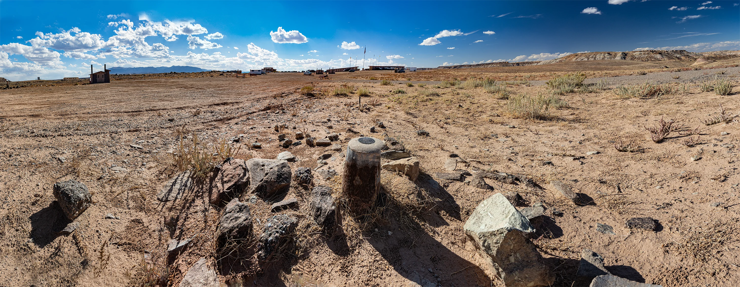
Now, the intersection was intended to be marked at 37˚ North Latitude and 109˚ West Longitude, and the fencepost pictured above gets the latitude right even if it’s 299 feet 2 inches north of the official Four Corners marker in center of the plaza.
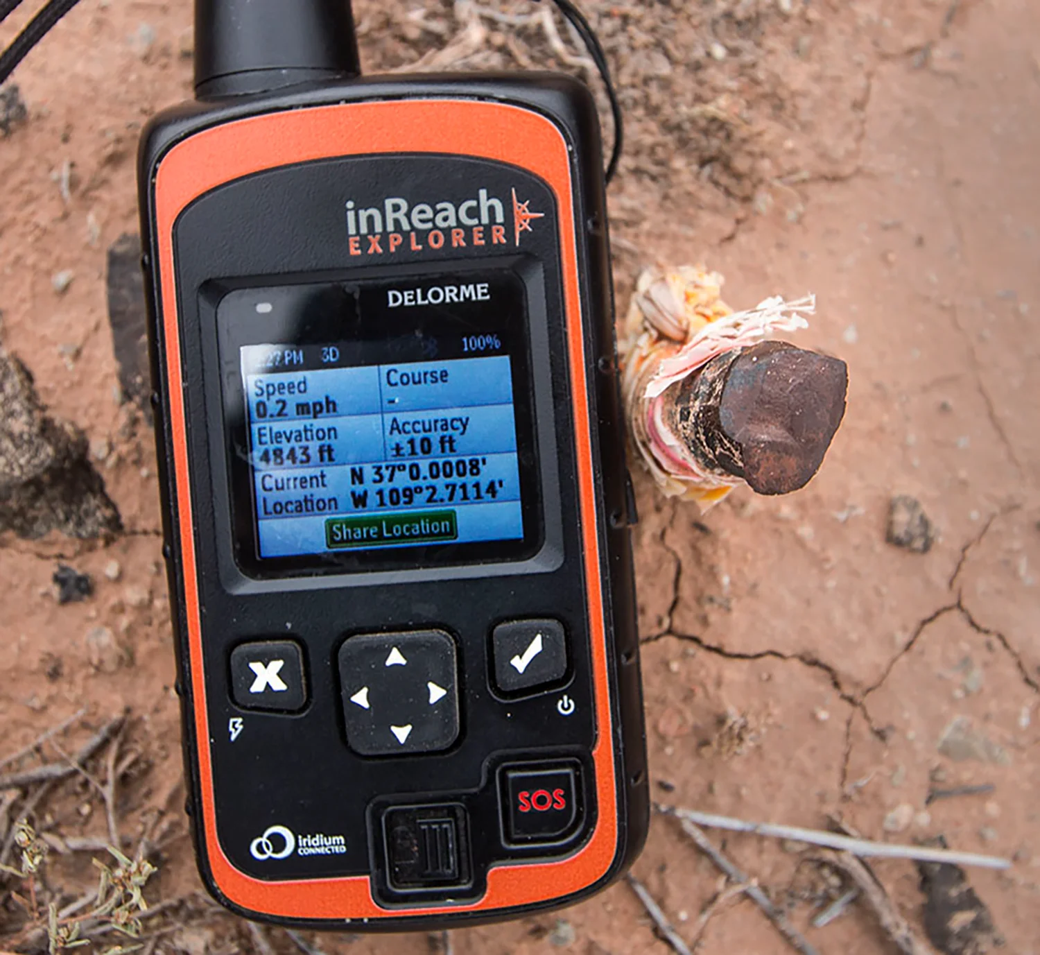
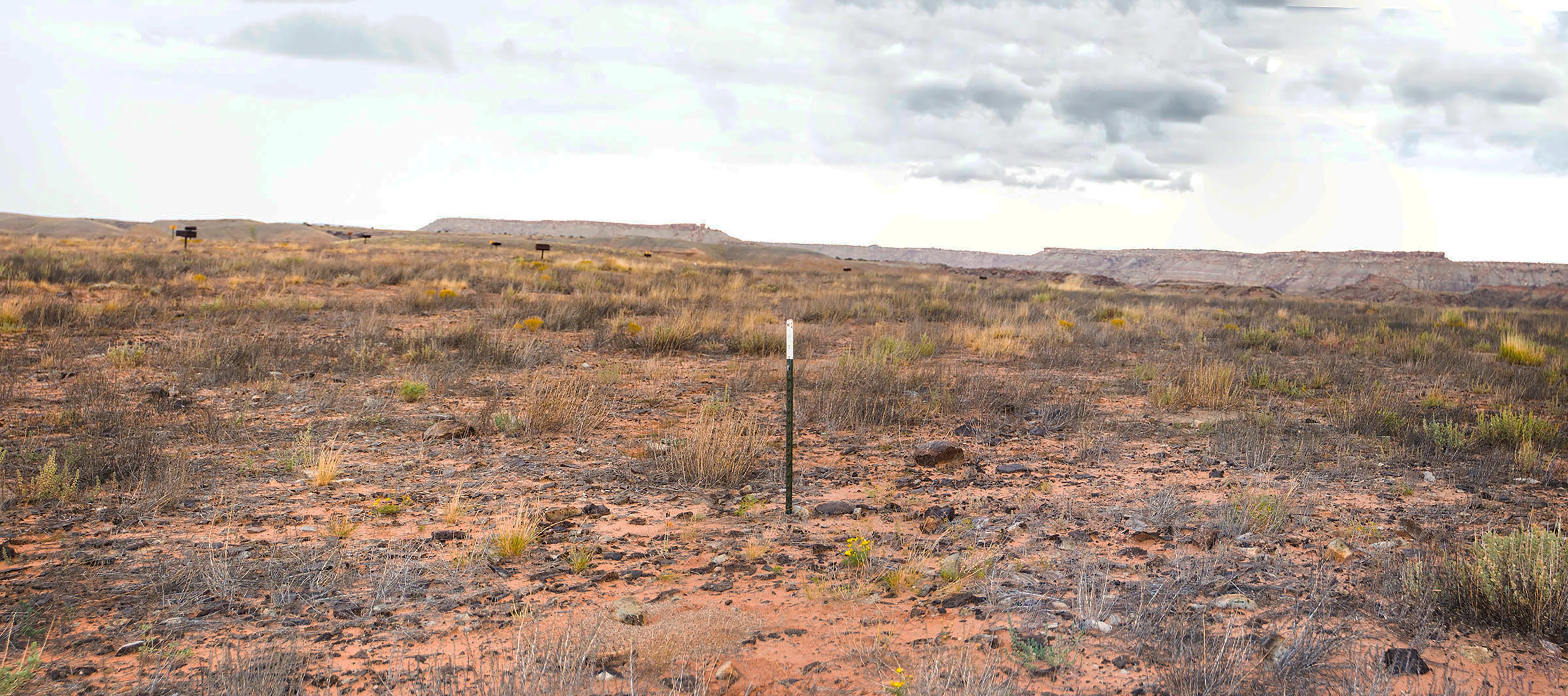
The fencepost is in fact a surveyor’s witness to make it easier to find an iron stake with a small bit of plastic tied around it, pictured below. The stake’s location is shown on the GPS device as same longitude as the official benchmark but it sits precisely on the 37th parallel (close, at least: the GPS alleges it’s 8/10000 of a minute off the line or 3 feet 10 inches— an acceptable error). The iron stake— and the official marker— are 2 1/2 miles west of the 109th meridian, so the stake is still only half right.