Next Location westbound eastbound
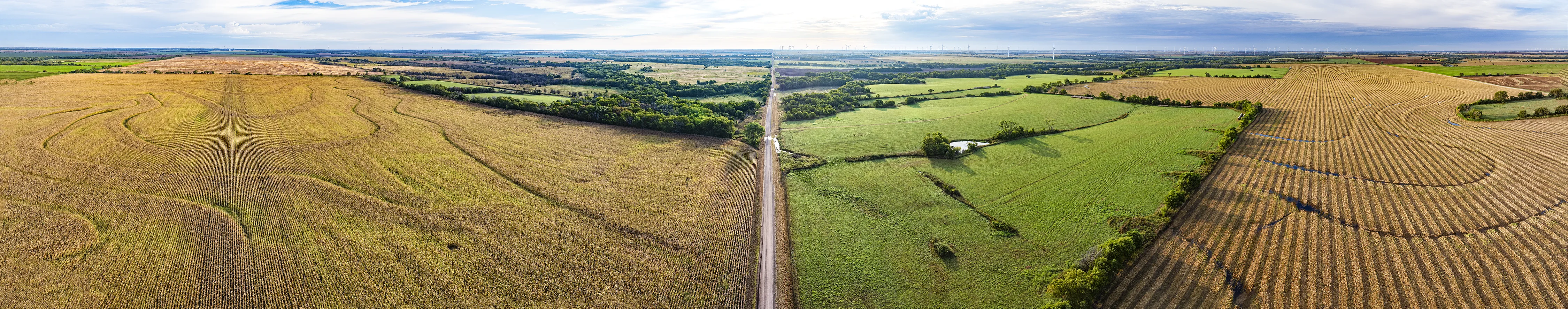
The survey marker was named for Middle Bitter Creek, just east of here. The original 1957 marker was reset in 1984. We found a circle of concrete with a hole in the middle that might have supported the replacement monument whose name belies the verdant view.