Next Location: westbound eastbound
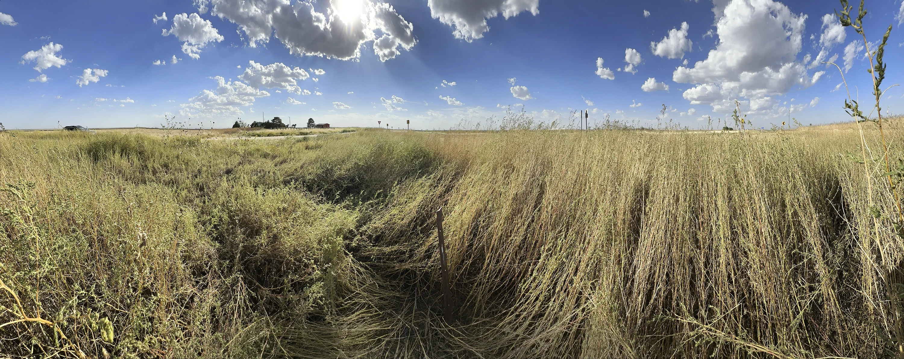
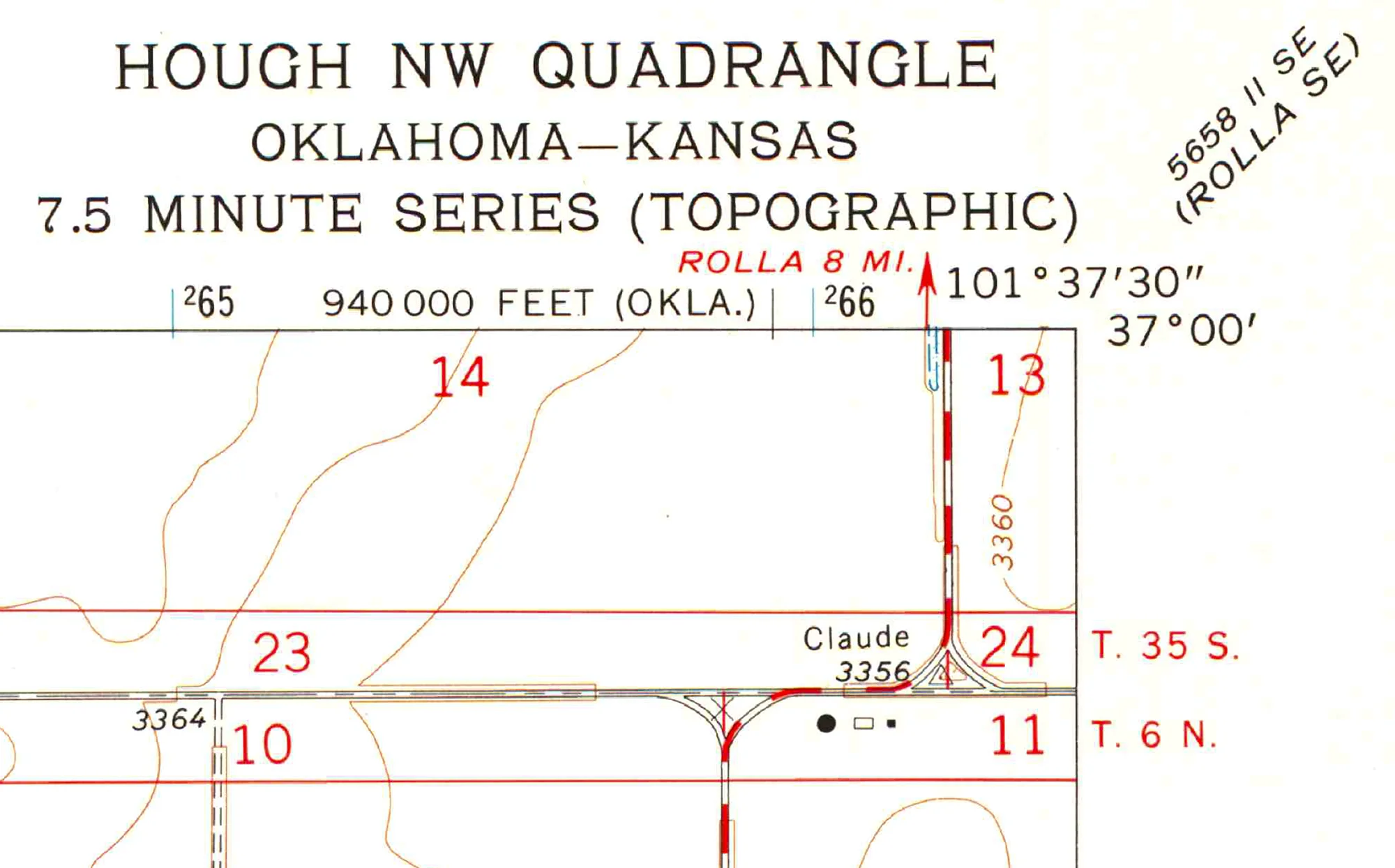
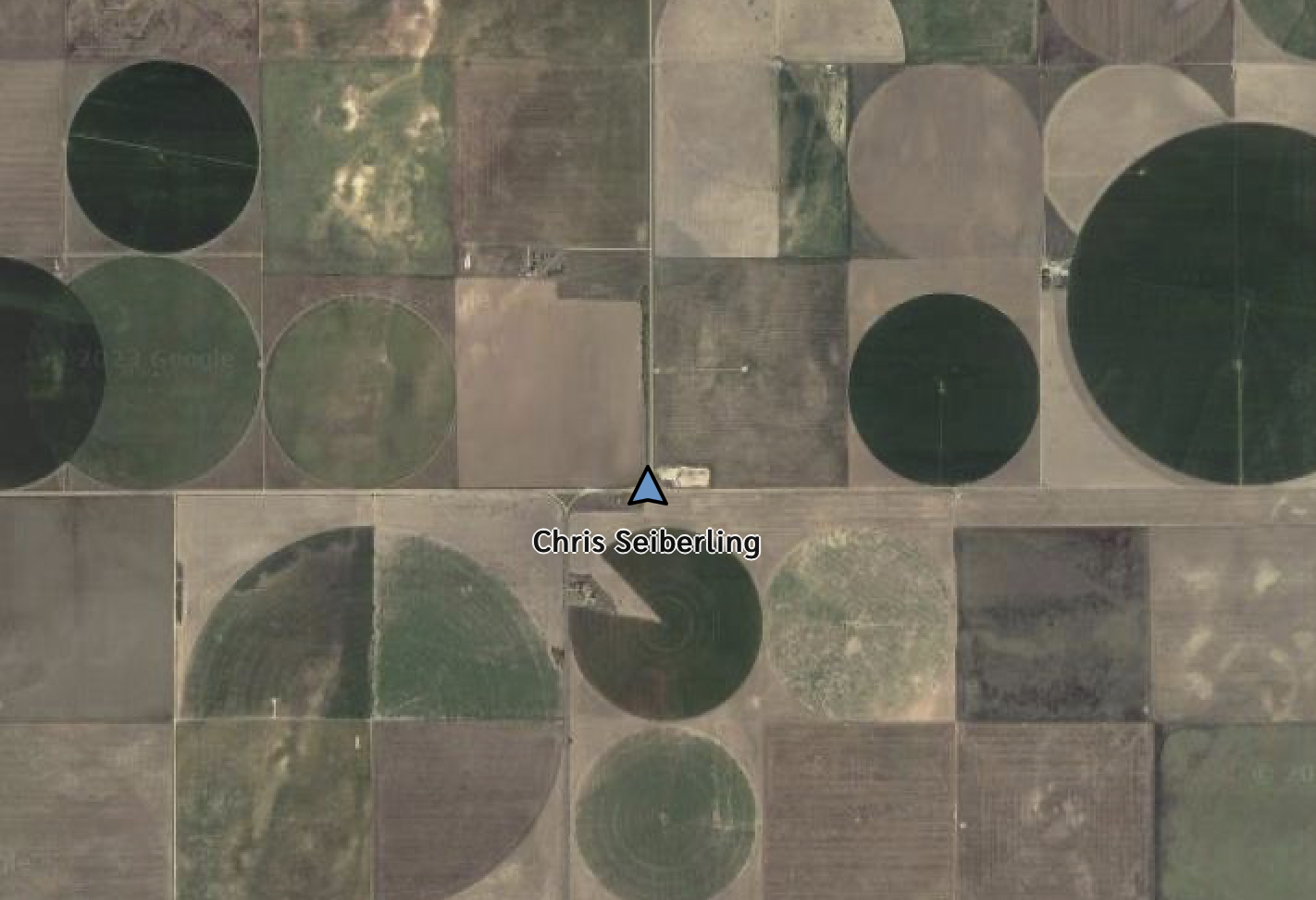
The map clearly indicates we’d find a survey monument labeled Claude in the middle of the intersection of two dusty roads, eight miles south of Rolla, Kansas, but we found nothing more exciting than a rusting steel fencepost in the triangular intersection’s tallgrass, a third of a mile south of the 37th parallel.
Here we’re just west of the 100th meridian, defined by John Wesley Powell as the eastern edge of the arid west. In the early 19th century we would be standing in the borderland of what Zebulon Pike (of Pike’s Peak) in 1806 called “the Great American Desert.” Below us lies the Ogallala aquifer, an immense reservoir that extends from the Texas panhandle to the Nebraska Sandhills, that’s being sucked out at a rate of nearly 5 1/2 million acre-feet per year. 1/4 mile pivot irrigators dominate the landscape here.
We’re witnessing an agricultural lemming march into drought dystopia. “Oklahoma only permits its irrigators enough groundwater to cover each acre of their land with 2 feet of water per year. But it’s an honor system — irrigators aren’t required to meter their usage. Kansas uses a similar system — irrigators report their usage by filling out a form every year.” (1) Farmers are allowed to pump 2 acre feet a year, but it takes 4 or 5 acre-feet to grow corn. To date, politicians have not shown the courage to require metering water use.
Footnotes