Next location: westbound eastbound
Ewell Canyon, southwest of the hamlet of Edith, Colorado, is the site of surveyor malpractice in 1868 that fifty years later would result in a border dispute between New Mexico and Colorado. The dispute was officially resolved 92 years after the original survey.
In 1868 Ehud Noble Darling, charged with establishing the boundary between New Mexico and Colorado on the 37th parallel, moved slowly west from the Oklahoma line (even that starting point was found to be erroneous), and at every survey monument he would, to simplify, swing his transit exactly 180 degrees from the previous monument to the one past his current location. Or so he thought. It was standard practice to double-check latitude by making astronomical observations periodically. So it was here, in a narrow canyon, that Darling came to his senses, realized he had deviated to the south, and moved northwest up the canyon 3/4 of a mile, where he reestablished the line much closer to the intended latitude.
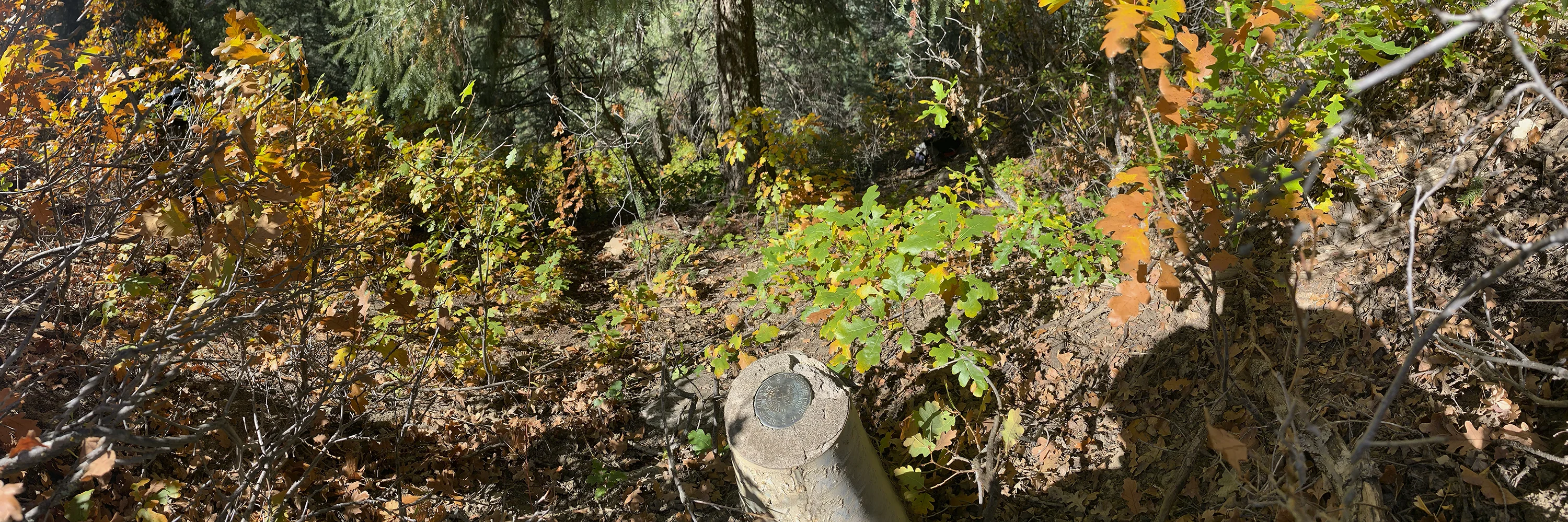
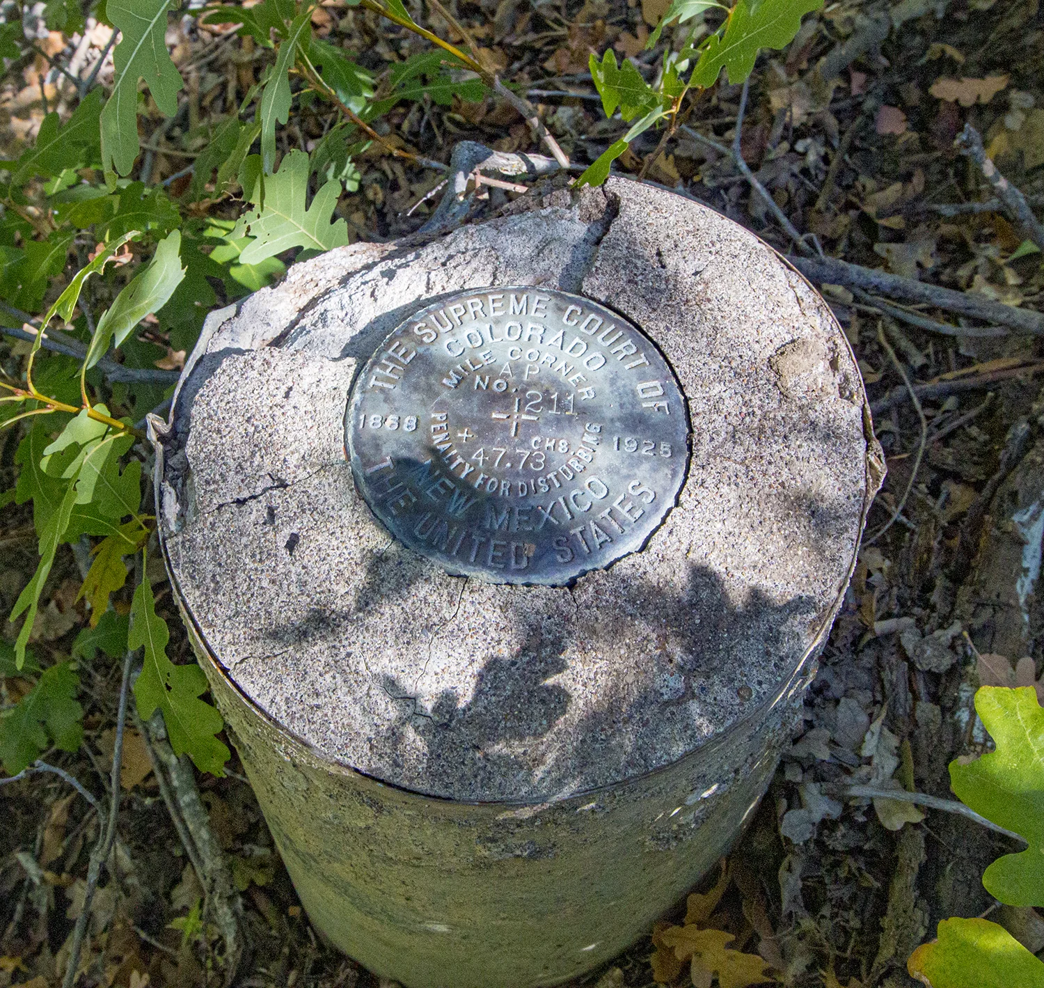
Now, in 1902, Howard Carpenter, who’d recently completed the Arizona-Utah border survey, was hired by the US Geological Survey to correct Darling’s erroneous line. As he moved along the line he obliterated all of Darling’s monuments, as is common practice. The resulting survey, accepted by Congress, was rejected by President Theodore Roosevelt. Carpenter’s survey, now the only monumented border, lay in legal limbo. Eventually New Mexico took Colorado to court to validate Carpenter’s survey, which would allow New Mexico to reclaim the skinny sliver of territory– 3/4 mile at its widest by 211 miles long. Finally, in 1925, the Federal Court ruled in Colorado’s favor, judging that correcting the line wasn’t more important than the disruption it would cause. A new survey was required that would essentially replicate Darling’s malpractice. So Arthur D. Kidder dutifully, and quite precisely, obliterated Carpenter’s monuments and placed replica markers where Darling’s had been. Below is the pivotal monument, hidden in oak trees half way up the east slope of Ewell Canyon. The border, it turns out, rarely intersects with its architected line at 37 degrees north latitude.
Footnotes:
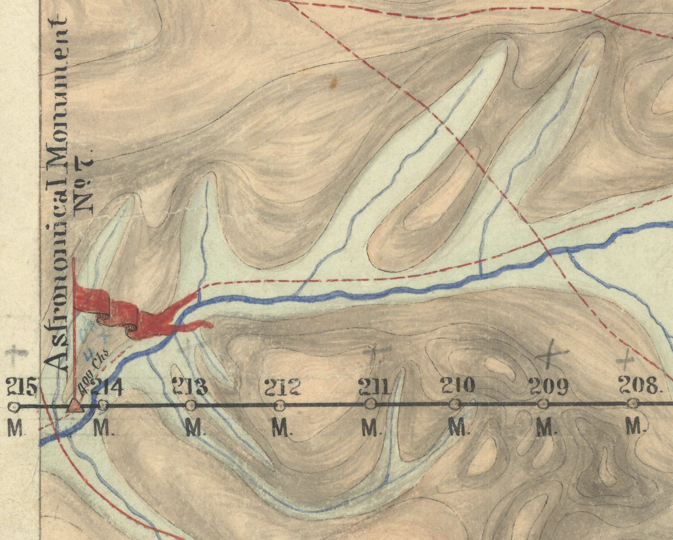
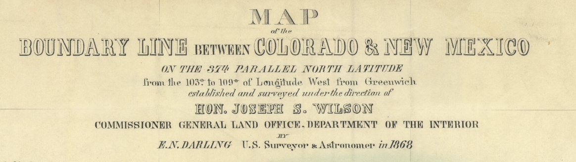
Darling’s map:
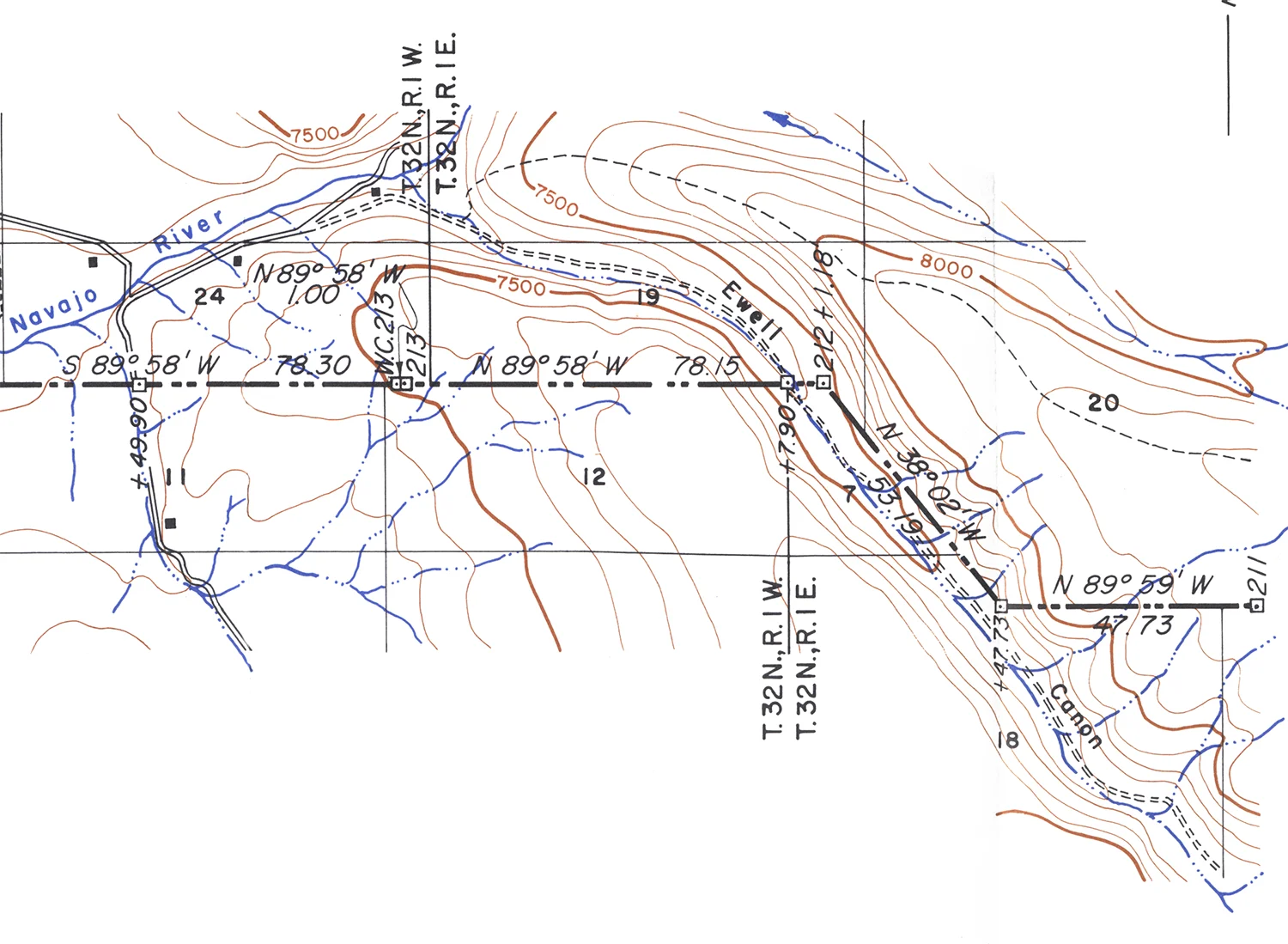
Kidder’s map:
Arthur D Kidder; Joseph C Thoma. Report of the Boundary Commissioner in the State of New Mexico, complainant vs. the State of Colorado, defendant. (Littleton, N.H. : Courier Print. Co., 1960. )