Next location: westbound eastbound
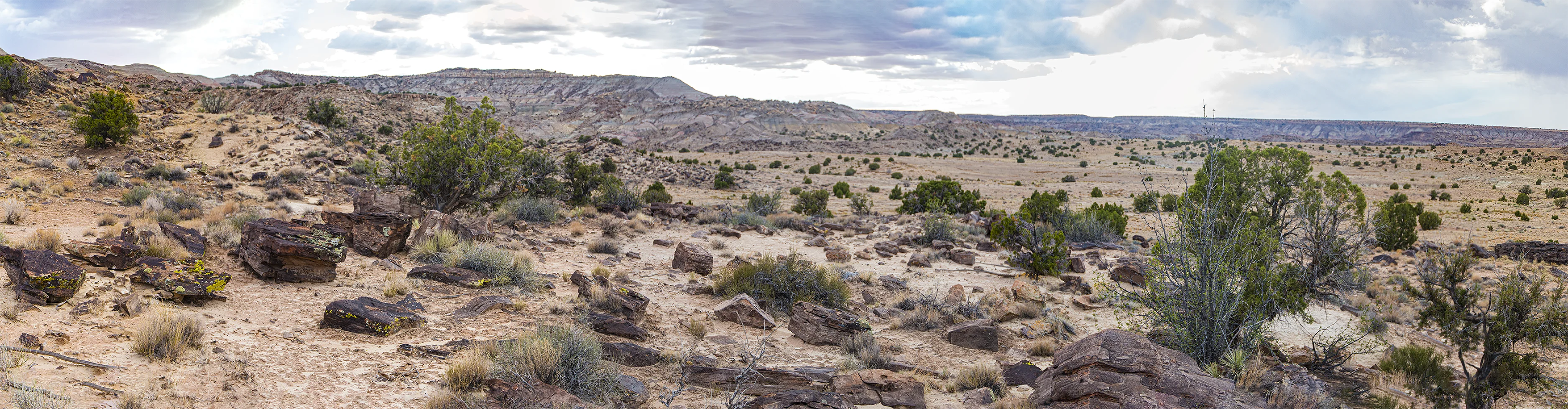
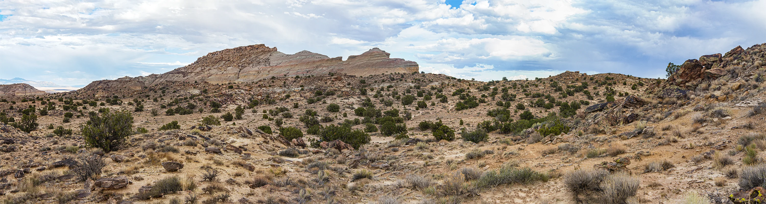
From US 169 at Teec Nos Pos we turned north toward the line on a confusing web of dirt roads that crossed recently-flooded washes– one or two of them were still damp; we checked them to make sure the soft damp soil would support the vehicle. We followed County Road C474 steeply up onto a mesa that looked like a lunar quarry. We passed one house a half mile south of the line. On the state line there was a sign announcing the edge of Apache County, the only border sign we’ve seen on the Navajo Nation. We got out and walked west to a nearby ridge. No evidence of human presence was visible except the dirt road behind us. The rough landscape, in the gray late light, was dry and inhospitable, a stage set for Diné endurance or Bilagáana1 desperation. Location: 360 59’ 58.908”, 1090 7’ 15.996” W, elev 5057 ft., about 4 1/4 miles west of Four Corners, as the surveyor chains.
.
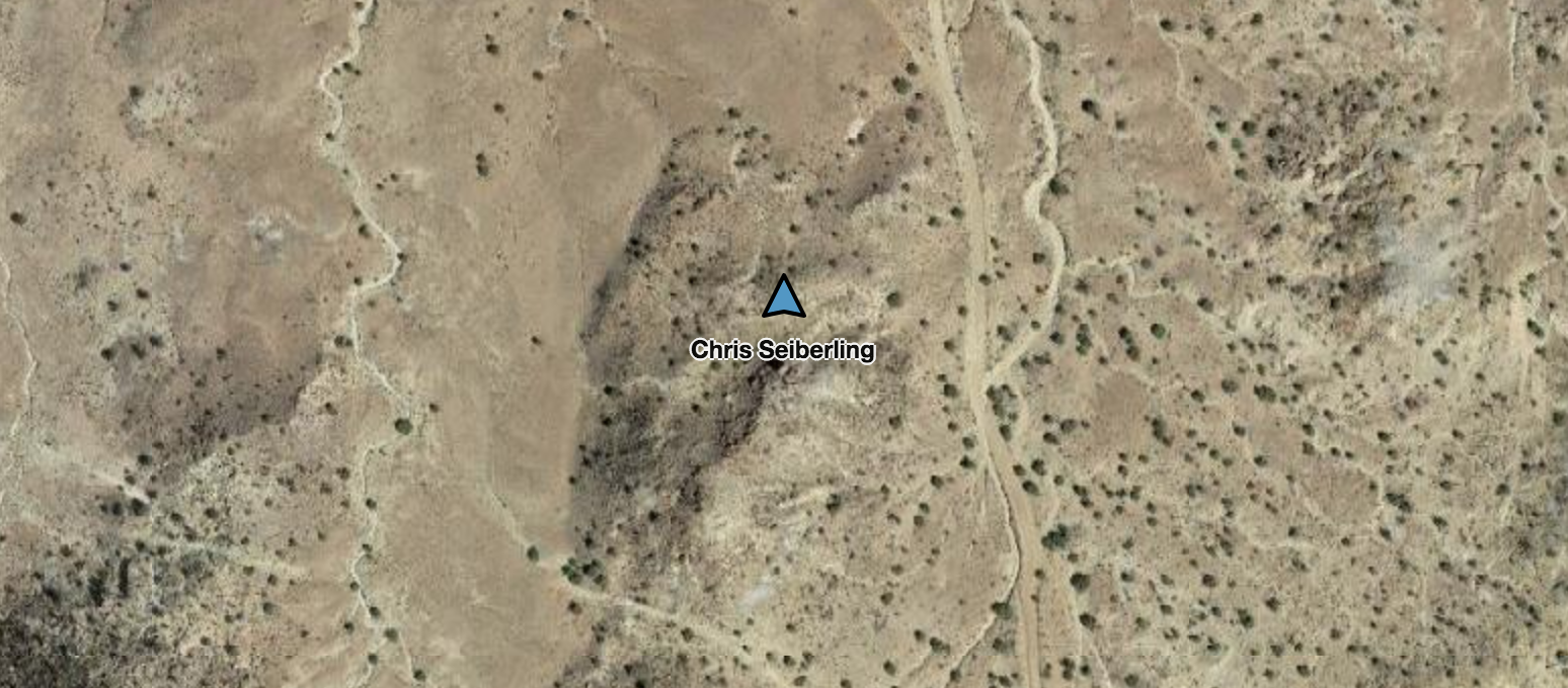
Location on the state line where the images above were recorded; the Navajo Nation lies both north and south of the line.
Footnote
1. Bilagáana: Navajo for European Americans