Next Location: westbound eastbound
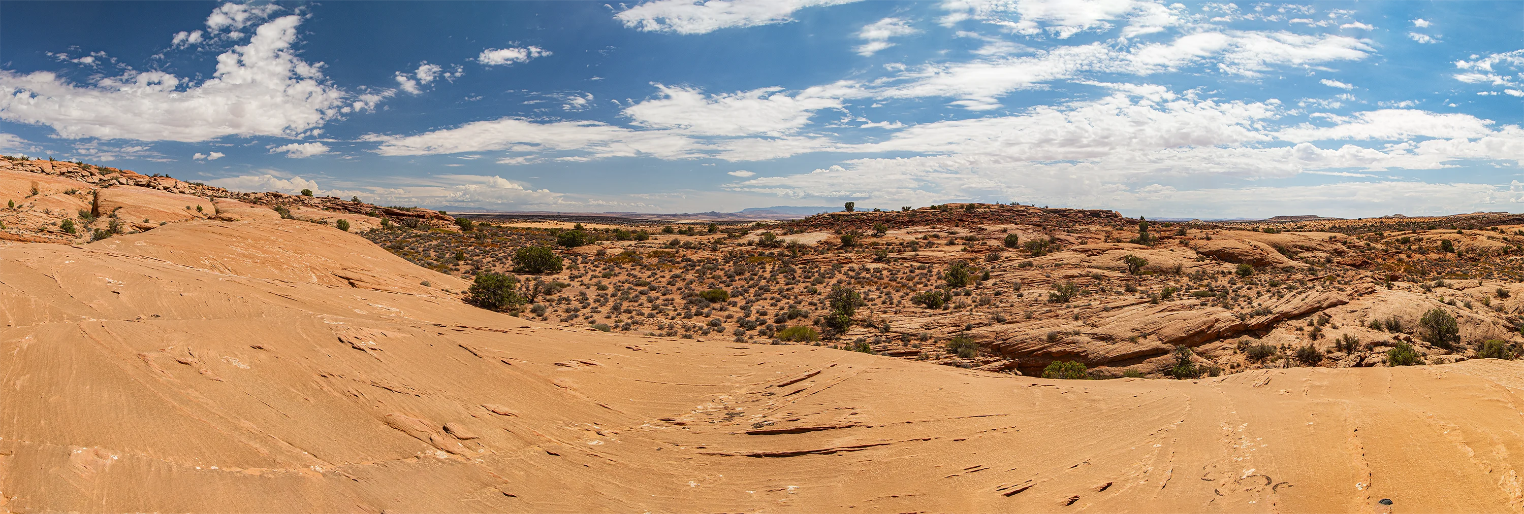
From the Navajo Monument Tribal Park we drive north into Utah, turn right on an unmarked road we guess was Indian Route 6480, which, according to the USGS map, morphs into Gypsum Creek Road, then segues into Cane Valley Wash Road, then lap dissolves into an unnamed road; we grind down toward Arizona and wind up a steep hairpin before finding the border using GPS– no signs or fences here to give it away. We walk west toward a ridge in the distance, mercifully shaded by a generous cloud, uncertain how far we travel–assessing distance in the desert is difficult, at least for those used to eastern indicators of size and distance– like trees, buildings, utility poles or atmosphere. We end up walking 5 hours round trip, slight ups and downs, mostly on the fine red sand of the great Navajo beach decorated with grizzled junipers, spiky-sharp grass clumps, an ATV track, but no fences. Last year’s horse dung lay scattered across the desert– not much for horses to eat, though. We’d seen a pair of horses earlier, but none on our walk. The occasional lizard. Mouse tracks. Abandoned prairie dog towns.
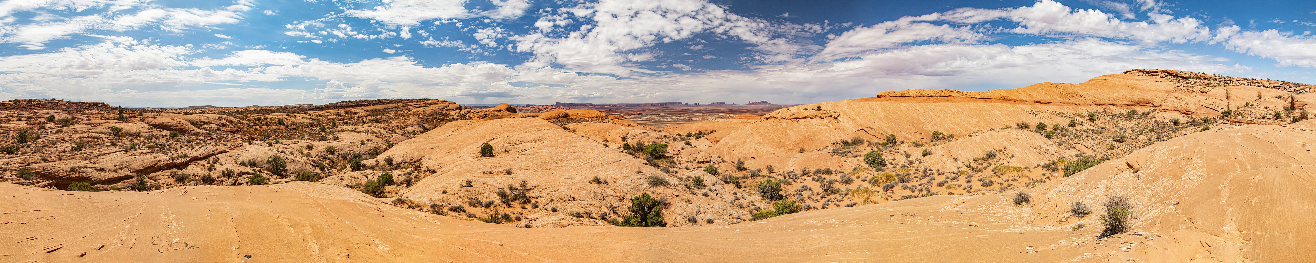
We arrive at the ridge we’d sighted on; the GPS nudged us north. We pull down our hat brims when the sun reappeared, brightening the views and desiccating us in the process; we end up on a wide sandstone knob somewhere in Mile 244 with a view back toward Navajo Monument Tribal Park and a fine view east. No fences or roads, no planes, no non-desert sounds.