Next location: westbound eastbound
South of Antonito, Colorado, on the Taos Plateau, on US 285 to Tres Piedras, we stop behind semis at the state welcome signs: northbound it’s Colorful Colorado, southbound it’s New Mexico True, formerly Land of Enchantment. Two women with a bicycle rack wait for their husbands to complete their private Tour de Colorado, from Wyoming to New Mexico on US 285, demonstrating that others, too, cross vast space for reasons of their own.
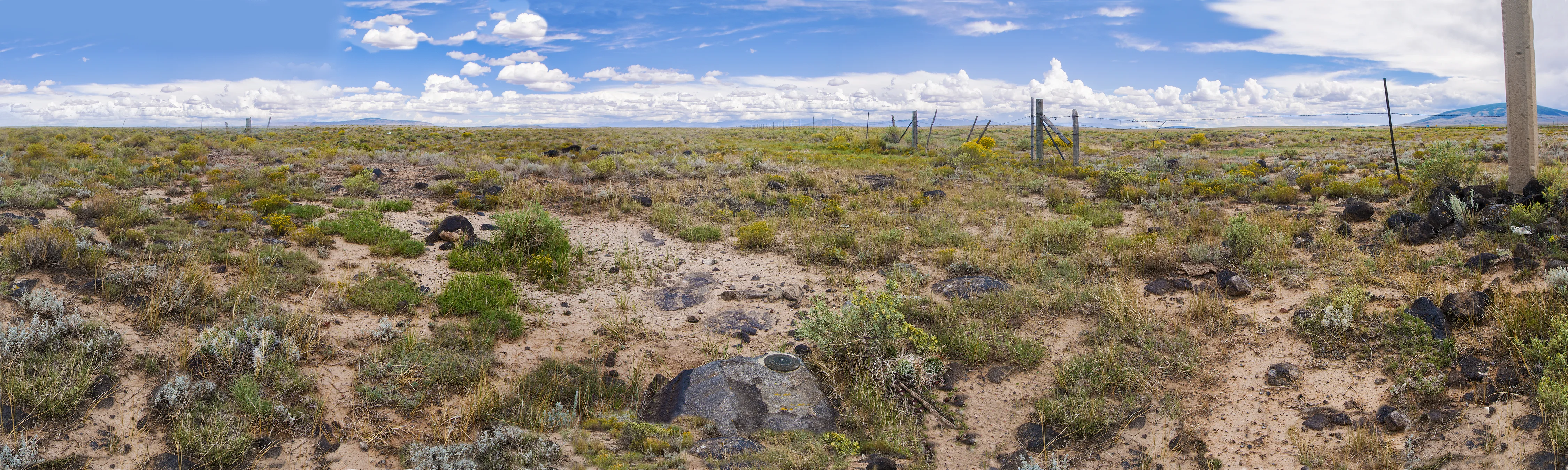
The landscape is exceptional only for the vast space visible from the height of a tripod. Botanists will tell you that the visible grass persists only because it’s a species the cattle really dislike, the good stuff having been chewed to the roots by the herd that’s long since moved on.
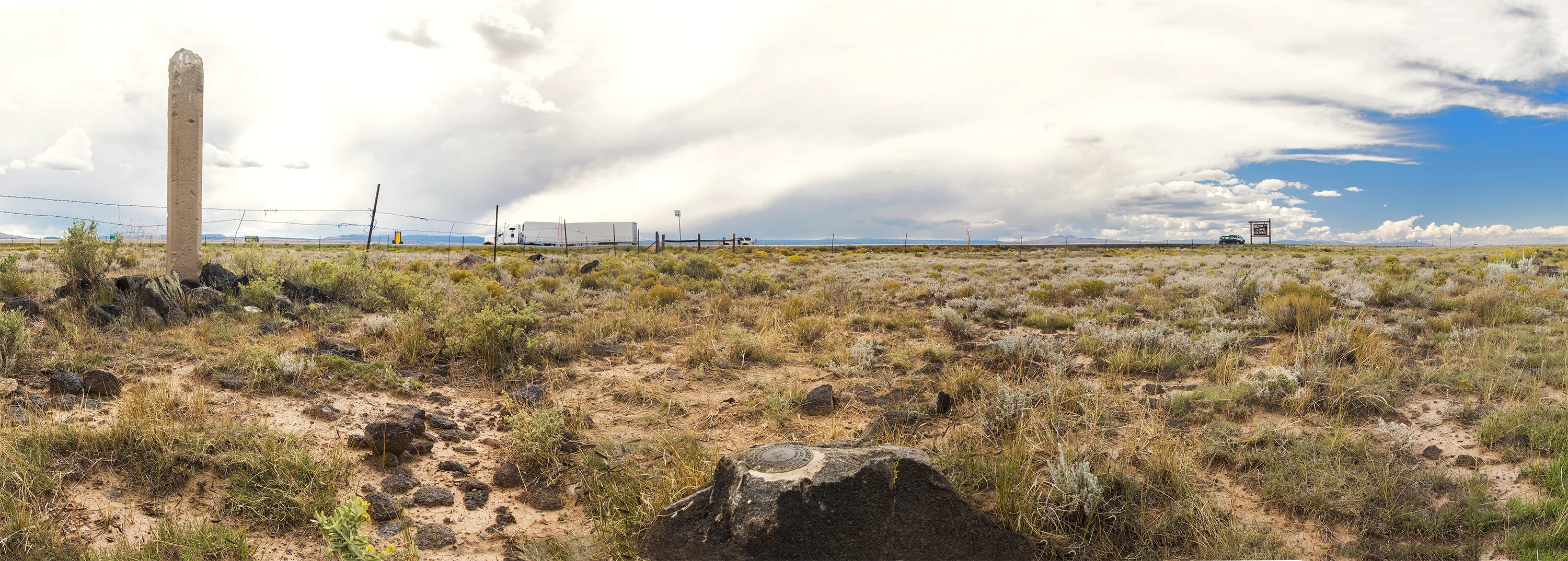
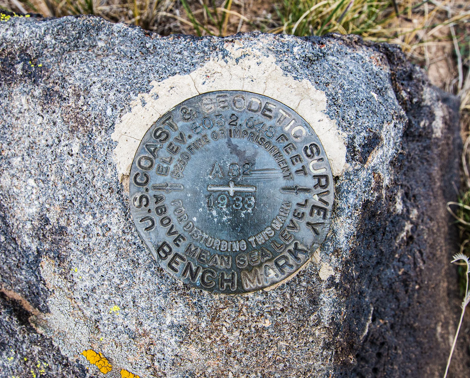
The surveyor’s monument was apparently not placed by Arthur Kidder. Perhaps the nearby stone pillar was associated with an earlier survey, although no identifying marks were visible.