Next location: westbound eastbound

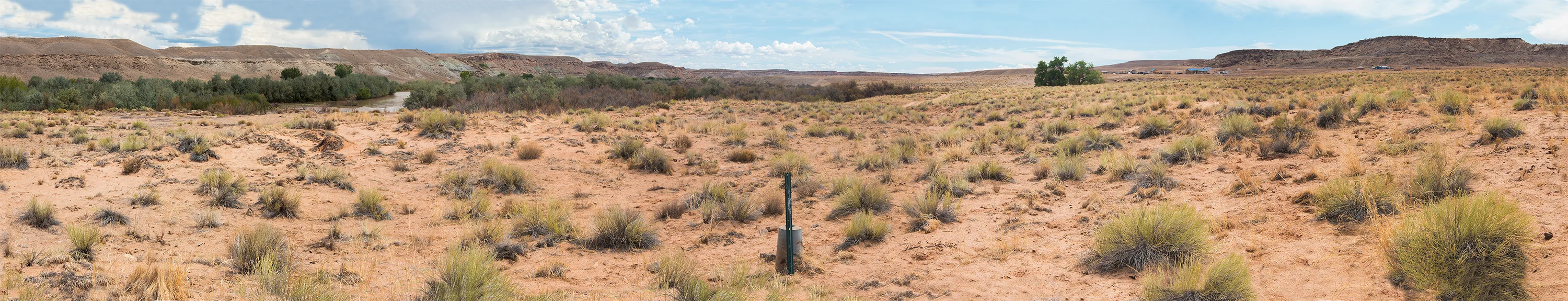
Here we’re just east of US 160, in the San Juan River floodplain, in the Navajo Nation. Here, after 329 miles chaining east to west from Oklahoma, Arthur D. Kidder was closing in on Four Corners, just about to complete the replication of Ehud Darling’s sloppy 1868 survey. Kidder wouldn’t get paid for his work for decades; Kidder’s survey, initiated in 1925, wasn’t published by the US Supreme Court until 1960, two years after Kidder’s death, finally formalizing the Colorado-New Mexico border.
No fences needed here— the Navajo Nation lies on both sides of the line.