Next location westbound eastbound
We pause on the line between Cimarron County, Oklahoma and Baca County, Colorado, just north of Regnier, an unincorporated place, the driest in Oklahoma. On the Colorado side Baca County is a patchwork quilt, with many disconnected patches comprising the Comanche National Grassland. On the Oklahoma side, Cimarron County is home to fewer than half a person per square mile outside of its four small towns.
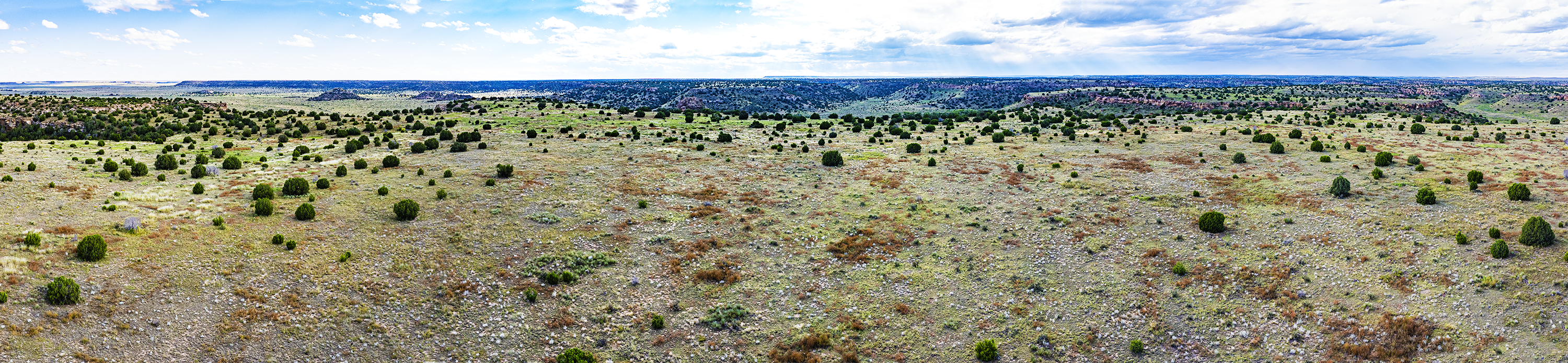
In this vast and empty place we stop at the point the GPS tells us Cimarron County’s NS 10 Road becomes Baca County’s Co Rd 13. No signs, fences, or survey markers announce the segue between states. We settle in to wait for the light to change. Only two vehicles pass in three hours; drivers of both slow to a stop to make sure we were OK. Our explanation for inaction is met with a nonplussed shrug. Eventually we get out, climb 300 feet up onto the mesa and head west about a mile. One or two black Angus low with curiosity at us from a distance. One of the few places where the line has no trace.
As dry as this region is, there’s a faint patina of green because of unseasonable rain. Cumulonimbus clouds thicken. We pack up and hurry off the mesa just before a cloudburst. We drive 20 miles over a slickening unpaved road toward Boise City.