Next Location: westbound eastbound
East of Garcia, CO and Costilla, NM
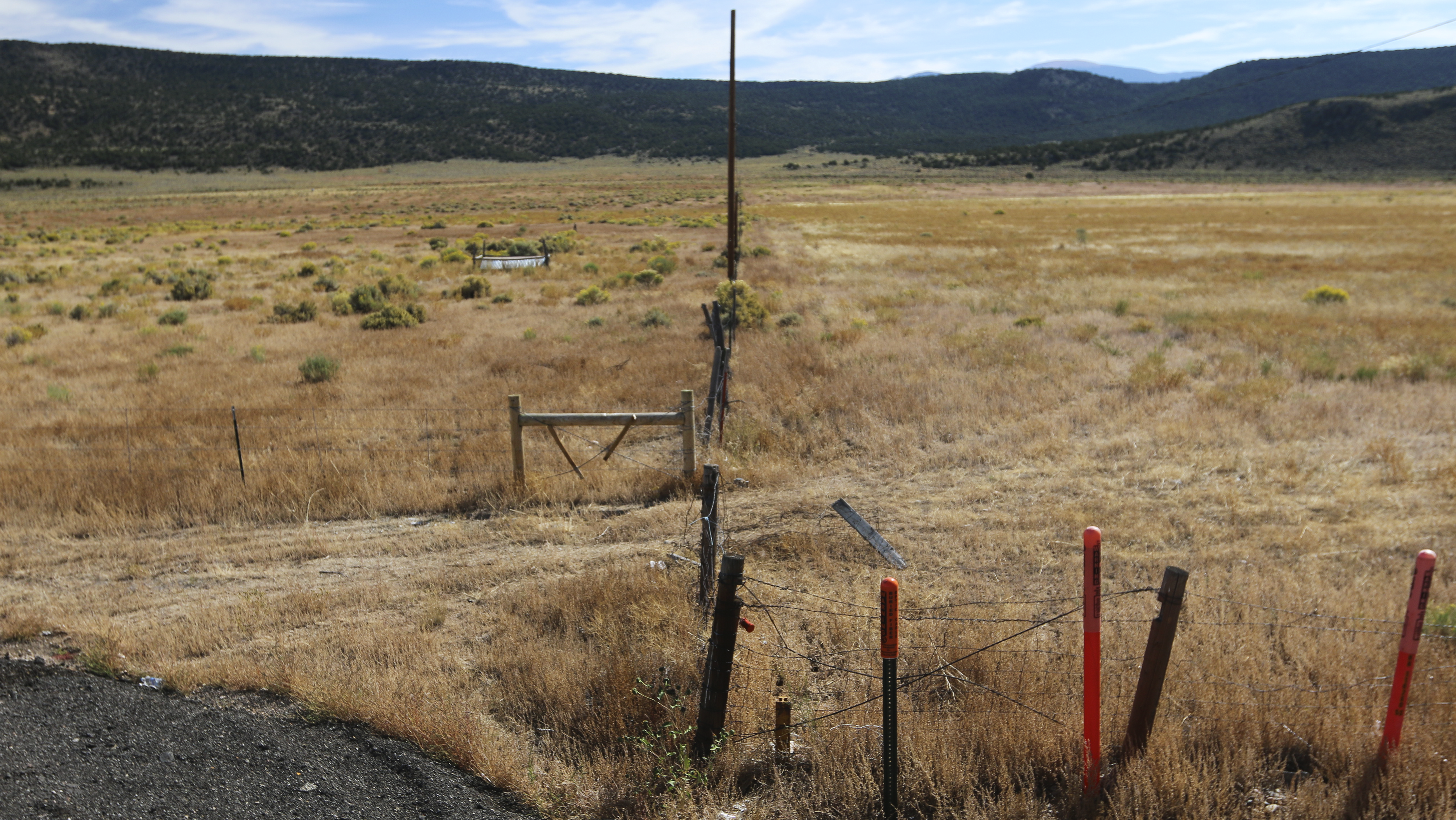
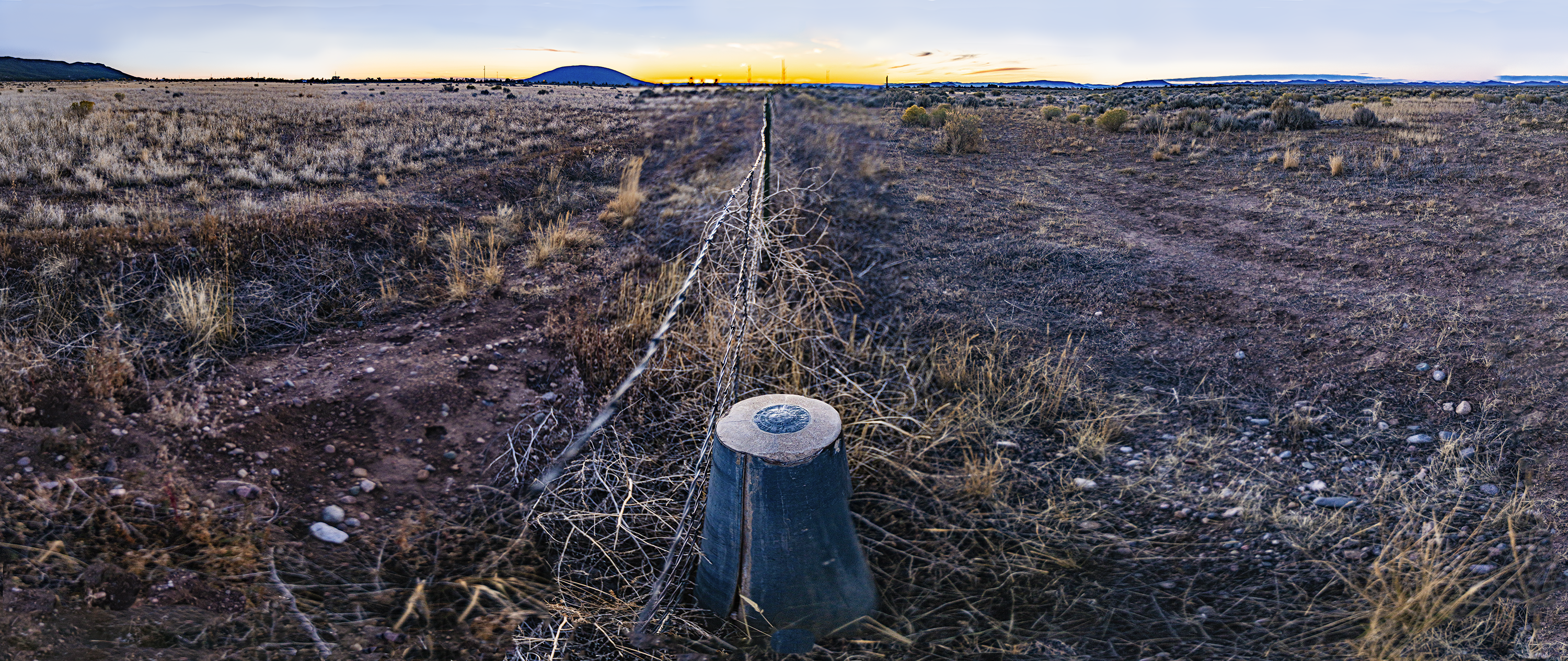
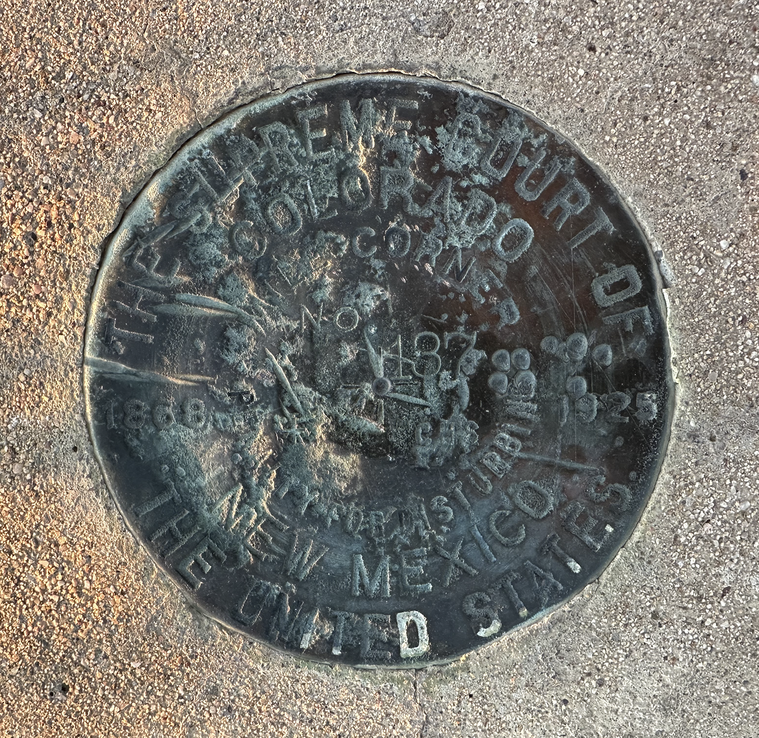
We climb through the barbed wire and head east toward the low hills about a mile and a half away. A mile west of here are Garcia, CO and Costilla, NM, minimal hamlets with long histories— New Mexicans have lived in the San Luis Valley for more than 300 years. Colorado’s first irrigation ditch passes nearby. Today the land barely supports minimal ranching operations– cattle are allowed to chew off almost all edible grasses; the region subsists and endures. Not far from the road we come across Mile 137.
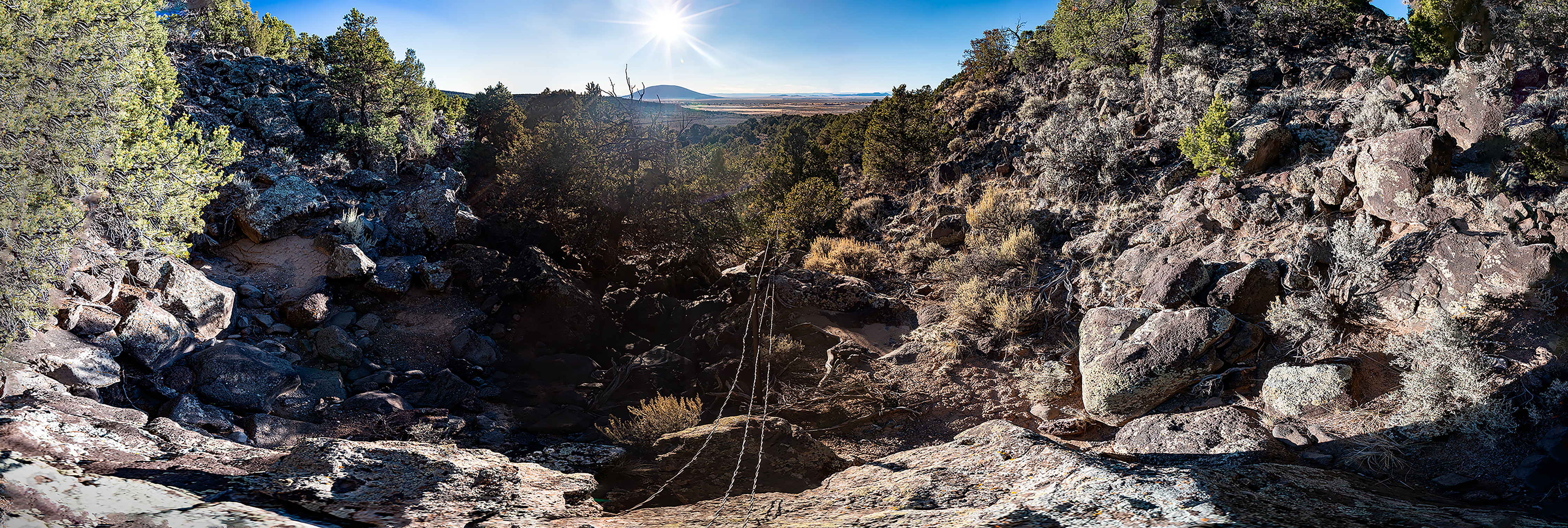
We walk east another mile, crossing a dry irrigation ditch, escaping the sibilance of occasional traffic where NM 522 becomes CO 159 in the high plains windless silence. We clamber up a slope of volcanic boulders, cactus, mesquite, and piñon, unsuccessfully stalking MP 136.
We look back west at a spot near where MP 136 might have been.