Next location: westbound eastbound
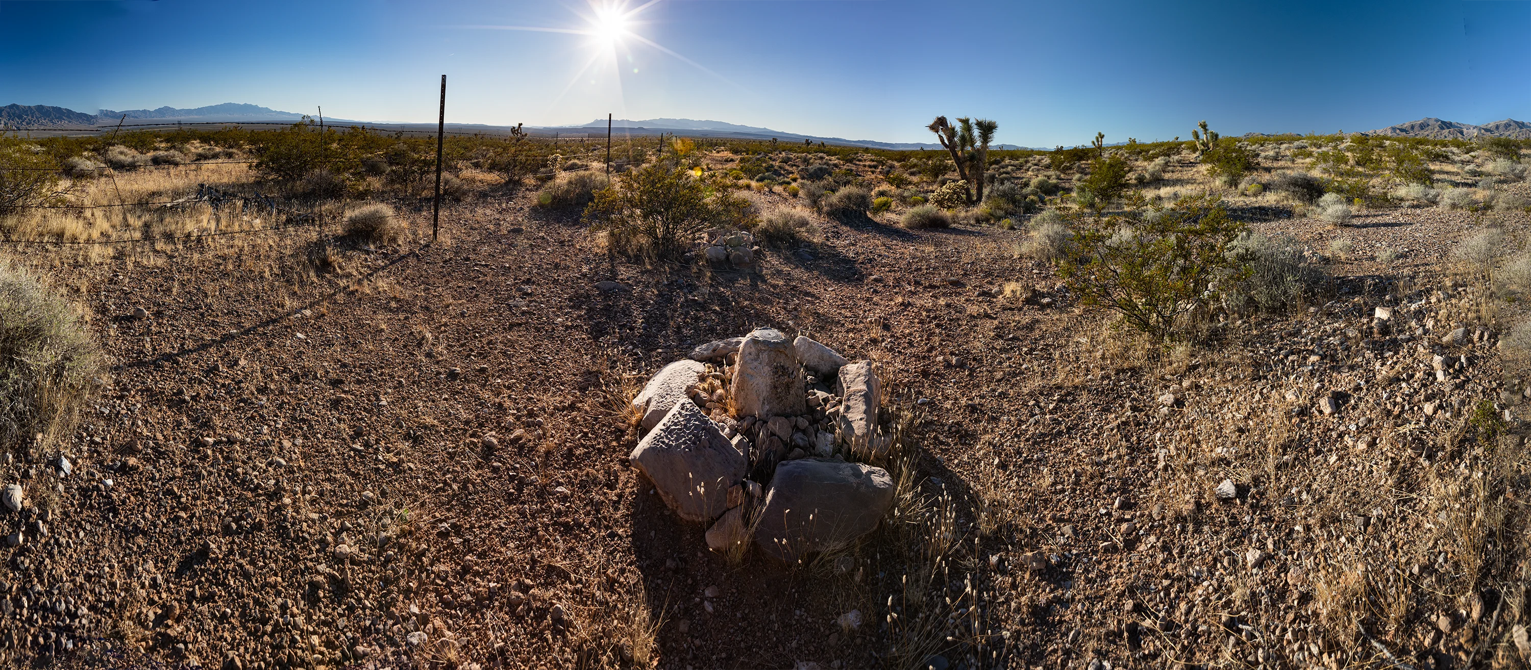
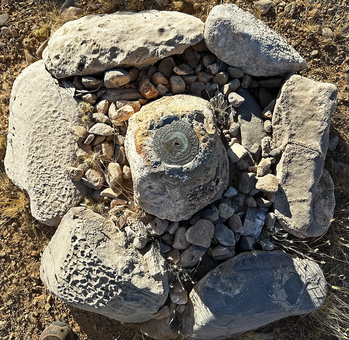
We’re eight miles west of the Initial Monument on the Nevada line. It only took a day for Carpenter and his crew to get here from the Initial Monument, having planted seven monuments a mile apart before arriving here at the foot of the Beaver Dam Range. He described the soil here as “gravelly and rocky, 4th rate. Vegetation, greasewood, cactus, and yucca.” He did not appreciate the arid landscape, but 122 years later his description needs no correction.
Carpenter’s modus operandi: his chainmen, in two teams, would measure a mile, guided by the transitman and flagmen, no doubt, stretching their 66-foot steel tapes taut, serially, 80 times per mile.1 Carpenter would note the discrepancy between the two teams’ measurements– typically between two and eight links (16-63 inches)– and split the difference, placing the next milepost at the resulting spot. On March 29th, 1901, Carpenter and his crew covered nine miles, a pace they couldn’t match when the terrain steepened. Their pace averaged 3 1/3 miles per day for the first 100 miles.
Footnote
- Carpenter used surveyor’s tapes, but they were nevertheless described as chain-length: 66 feet long, subdivided into 100 links (each of which was a hair under 7 15/16”). The original surveyor’s chain was introduced by Edmund Gunter in 1620. Surveyor’s tapes were subject to expansion and required periodic calibration, which Carpenter duly noted.